Bromley Reform Synagogue, Bromley
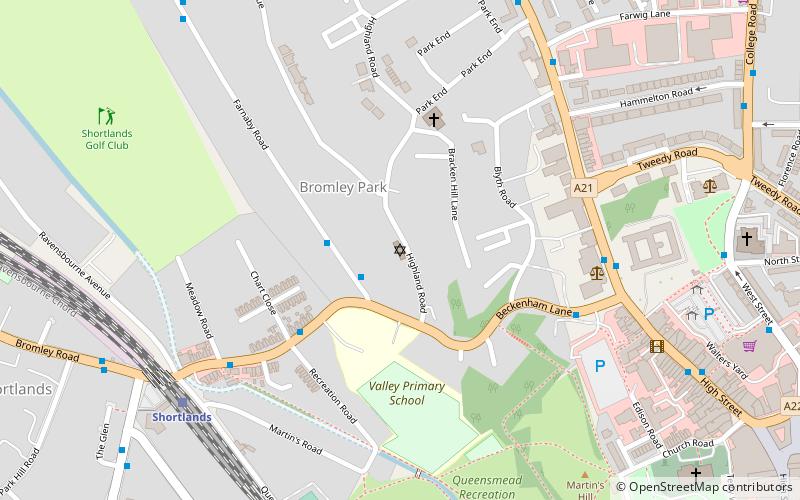
Map
Facts and practical information
Coordinates: 51°24'29"N, 0°0'25"E
Address
Bromley (Bromley Town)Bromley
ContactAdd
Social media
Add
Getting there by public transportation
Public transportation stops near this location
- Bus
- Train
 Bus
Bus
- Calculate routeBeckenham Lane 2 min walk
- Calculate routeFarnaby Road / Beckenham Lane 2 min walk
- Calculate routeValley School 4 min walk
- Calculate routeBromley Magistrates Court 5 min walk
- Calculate routeShortlands 7 min walk
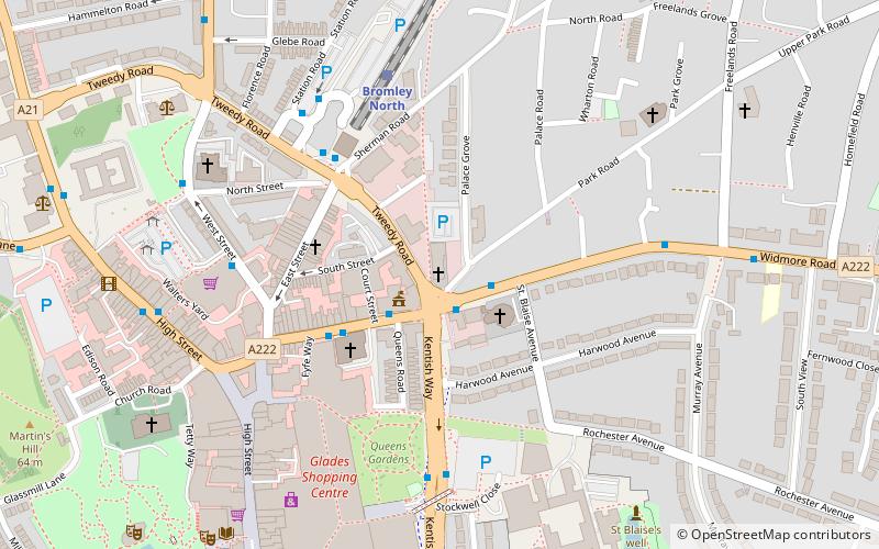
- Calculate routeBromley North 13 min walk
- Calculate routeBromley South 19 min walk
- Calculate routeSundridge Park 20 min walk
Day trips
Bromley Reform Synagogue – popular in the area (distance from the attraction)
Nearby attractions include: The Glades, The Mall, Beckenham Place Park, Churchill Theatre.


Frequently Asked Questions (FAQ)
Which popular attractions are close to Bromley Reform Synagogue?
Nearby attractions include Bromley War Memorial, Bromley (8 min walk), Bromley Little Theatre, Bromley (8 min walk), Bromley Parish Church Memorial, Bromley (9 min walk), St Peter and St Paul, London (9 min walk).
How to get to Bromley Reform Synagogue by public transport?
The nearest stations to Bromley Reform Synagogue:
Bus
Train
Bus
- Beckenham Lane • Lines: 354 (2 min walk)
- Farnaby Road / Beckenham Lane • Lines: 354 (2 min walk)
Train
- Shortlands (7 min walk)
- Bromley North (13 min walk)