Gunnerside Gill, Keld
#2 among attractions in Keld


Facts and practical information
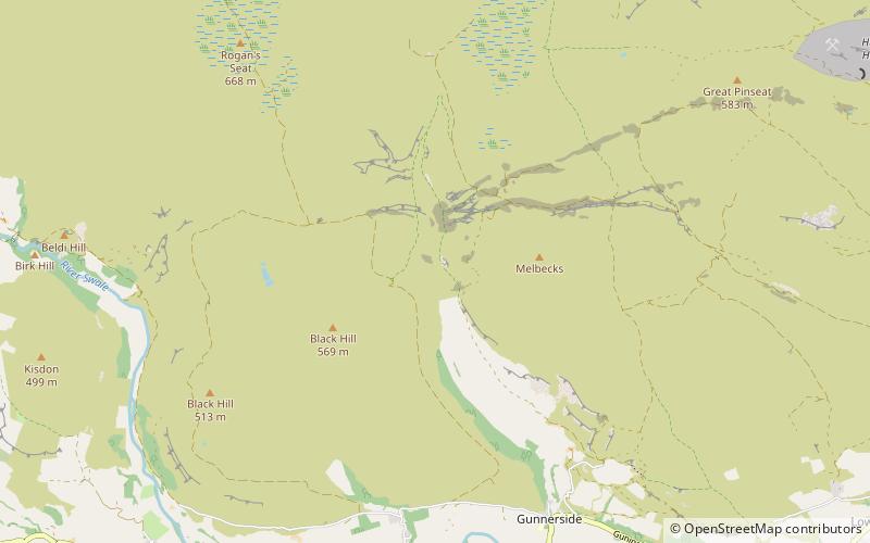
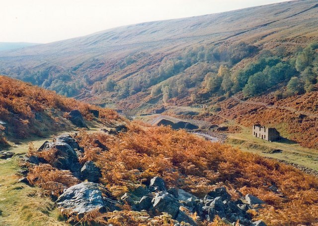
Gunnerside Gill is a small valley in the Yorkshire Dales which branches off Swaledale into moorland to the north of Gunnerside. ()
Keld United Kingdom
Gunnerside Gill – popular in the area (distance from the attraction)
Nearby attractions include: Wain Wath Force, East Gill Force, Kisdon Force, Tan Hill Inn.
 Nature, Natural attraction, Waterfall
Wain Wath Force, Hawes
88 min walk • Wain Wath Force is a waterfall on the River Swale in the Yorkshire Dales National Park, North Yorkshire, England. The falls are at grid reference NY883015, 0.6 miles upstream from the hamlet of Keld which has three other waterfalls in its vicinity.
 Nature, Natural attraction, Waterfall
East Gill Force, Hawes
68 min walk • East Gill Force is a waterfall in Swaledale, 330 yards east of the hamlet of Keld, in the Yorkshire Dales National Park, North Yorkshire, England.
 Nature, Natural attraction, Waterfall
Kisdon Force, Hawes
65 min walk • Kisdon Force is a series of waterfalls on the River Swale in Swaledale, England. The falls are situated within the Yorkshire Dales National Park in the county of North Yorkshire, 500 metres downstream from the small hamlet of Keld at grid reference NY898010.
 Nightlife
Tan Hill Inn, Keld
116 min walk • Tan Hill is a high point on the Pennine Way in the Richmondshire district of North Yorkshire, England. It lies north of Keld in the civil parish of Muker, near the borders of County Durham and Cumbria, and close to the northern boundary of the Yorkshire Dales National Park.
 Nature, Natural attraction, Waterfall
Catrake Force, Hawes
74 min walk • Catrake Force is a waterfall on the River Swale in North Yorkshire, England. It is not visible from the road but is accessible via a campsite in Keld.
 Nature, Natural attraction, Valley
Arkengarthdale, Yorkshire Dales National Park
106 min walk • Arkengarthdale is a dale, or valley, on the east side of the Pennines in North Yorkshire, England. Running roughly north-west to south-east, it is the valley of the Arkle Beck, and is the northernmost of the Yorkshire Dales.
 Forts and castles
Maiden Castle, Yorkshire Dales National Park
138 min walk • Maiden Castle is a settlement in Grinton, North Yorkshire which probably dates from the Iron Age. It is listed as a Scheduled Ancient Monument.
 Nature, Natural attraction, Mountain
Kisdon, Yorkshire Dales National Park
66 min walk • Kisdon, also called Kisdon Hill, is a fell situated in upper Swaledale in the Yorkshire Dales National Park in North Yorkshire, England.
 Nature, Natural attraction, Mountain
Lovely Seat, Yorkshire Dales National Park
133 min walk • Lovely Seat, originally known as Lunasett until being misnamed by map makers some time in the twentieth century, is a fell in the Yorkshire Dales National Park in North Yorkshire, England. It reaches a height of 675 metres.
 Nature, Natural attraction, Mountain
Calver Hill, Yorkshire Dales National Park
118 min walk • Calver Hill is a fell in the Yorkshire Dales National Park in North Yorkshire, England. It is composed of limestone and is situated at grid reference NZ012003, near where the valleys of Swaledale and Arkengarthdale meet, the village of Reeth is located on its lower south-eastern...
 Nature, Natural attraction, Mountain
Rogan's Seat, Yorkshire Dales National Park
49 min walk • Rogan's Seat is a remote hill located near East Stonesdale and Gunnerside Gill, in the Yorkshire Dales in England. It is a high expanse of moorland that stretches alongside Swaledale, Swinner Gill and Gunnerside Gill.
