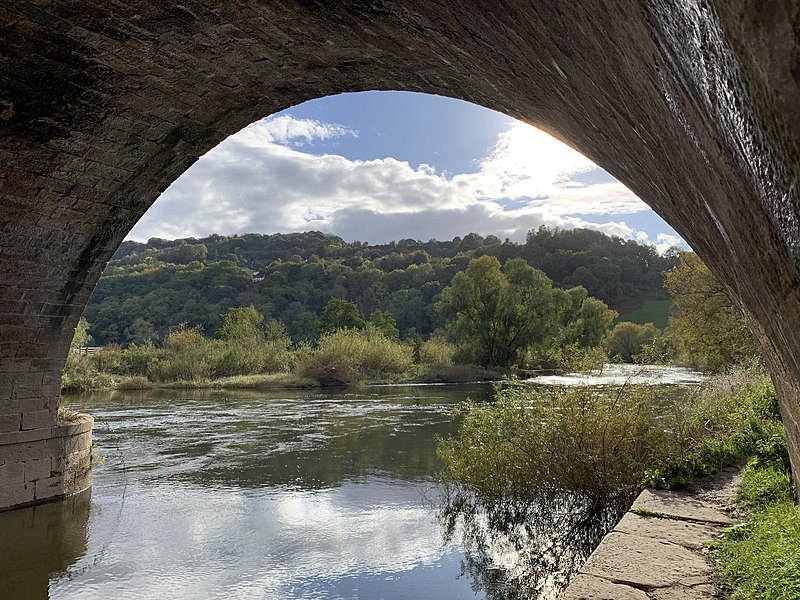
Kerne Bridge, Lydbrook
Map

Gallery

Facts and practical information
Kerne Bridge was built over the River Wye in the County of Herefordshire, England in 1825-28, on the site of an ancient ford crossing known as Flanesford. It is designated as a Scheduled Monument. Carrying the B4229 road, it connects the parishes of Walford on the river’s left bank and Goodrich on the right. It is situated in the heart of the Wye Valley Area of Outstanding Natural Beauty and marks the northern end of the Upper Wye Gorge. ()
Coordinates: 51°52'9"N, 2°36'36"W
Address
Lydbrook
ContactAdd
Social media
Add
Day trips
Kerne Bridge – popular in the area (distance from the attraction)
Nearby attractions include: Goodrich Castle, Herefordshire Trail, King Arthur's Cave, Upper Wye Gorge.
Frequently Asked Questions (FAQ)
Which popular attractions are close to Kerne Bridge?
Nearby attractions include Goodrich Castle, Ross-on-Wye (16 min walk), Coppet Hill, Letcombe Valley (17 min walk).


