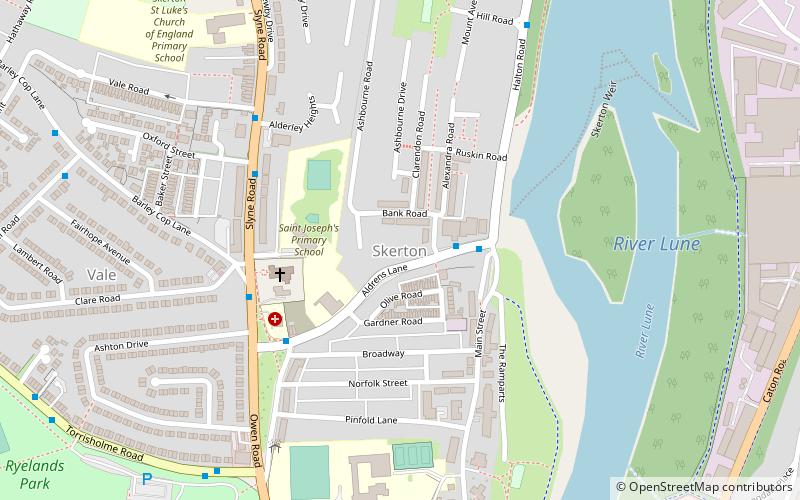
Skerton, Lancaster

Map
Facts and practical information
Skerton is an area in the north of Lancaster, Lancashire, England, on the other side of the River Lune to the castle. It was formerly a township, but in the late 1800s it was incorporated into Lancaster and the neighbouring townships. Skerton Bridge takes the A6 southwards towards the city centre. ()
Coordinates: 54°3'39"N, 2°47'53"W
Address
Lancaster
ContactAdd
Social media
Add
Day trips
Skerton – popular in the area (distance from the attraction)
Nearby attractions include: Lancaster Castle, Lancaster Cathedral, Lancaster Priory, Judges' Lodgings.
Frequently Asked Questions (FAQ)
Which popular attractions are close to Skerton?
Nearby attractions include Lancaster Canal, Lancaster (11 min walk), Skerton Bridge, Lancaster (12 min walk), Lancaster Maritime Museum, Lancaster (15 min walk), Greyhound Bridge, Lancaster (16 min walk).
How to get to Skerton by public transport?
The nearest stations to Skerton:
Bus
Train
Bus
- Daisy Street • Lines: 49, 81A, 81B (2 min walk)
- Aldrens Lane • Lines: 49, 81A, 81B (4 min walk)
Train
- Lancaster (24 min walk)


