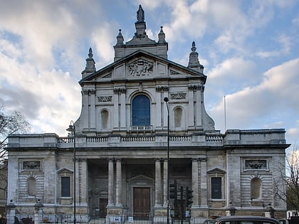
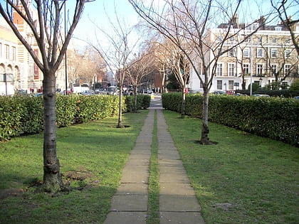
Westminster Synagogue, London
Map
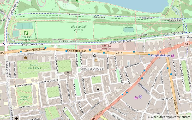
Map

Facts and practical information
The Westminster Synagogue is a non-affiliated Jewish Reform synagogue and congregation near Hyde Park, London. It is located in Kent House, a restored Victorian town house in Knightsbridge. The building, which dates from the late 1800s, also houses the Czech Memorial Scrolls Centre. ()
Coordinates: 51°30'5"N, 0°9'60"W
Address
City of Westminster (Knightsbridge and Belgravia)London
Contact
+44 20 7584 3741
Social media
Add
Day trips
Westminster Synagogue – popular in the area (distance from the attraction)
Nearby attractions include: Victoria and Albert Museum, Hyde Park, Serpentine Galleries, Royal Albert Hall.
Frequently Asked Questions (FAQ)
Which popular attractions are close to Westminster Synagogue?
Nearby attractions include Knightsbridge, London (1 min walk), Trevor Square, London (3 min walk), Deutsche Evangelische Christuskirche, London (3 min walk), 2–8a Rutland Gate, London (4 min walk).
How to get to Westminster Synagogue by public transport?
The nearest stations to Westminster Synagogue:
Bus
Metro
Train
Bus
- Knightsbridge Barracks • Lines: 23, 452, 52, 702, 9, N9 (2 min walk)
- Rutland Gardens • Lines: 23, 452, 52, 702, 9, N9 (2 min walk)
Metro
- Knightsbridge • Lines: Piccadilly (6 min walk)
- Hyde Park Corner • Lines: Piccadilly (14 min walk)
Train
- London Victoria (27 min walk)
- London Paddington (31 min walk)

 Tube
Tube


