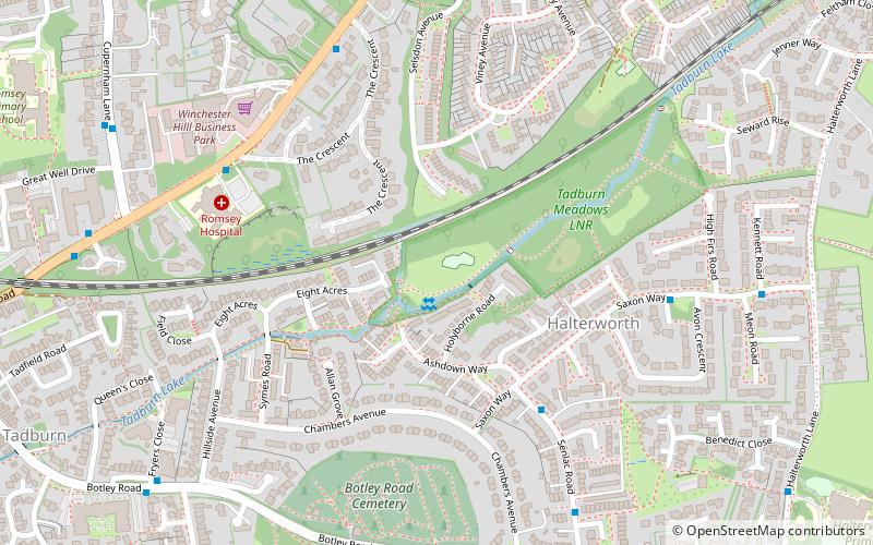
Tadburn Meadows, Romsey

Gallery (1)
Map
Map
Facts and practical information
Tadburn Meadows is a 5.1-hectare Local Nature Reserve in Romsey in Hampshire. It is owned and managed by Test Valley Borough Council. ()
Elevation: 75 ft a.s.l.Coordinates: 50°59'29"N, 1°28'39"W
Address
Romsey
ContactAdd
Social media
Add
Day trips


