Murieston, Livingston
Map

Map

Facts and practical information
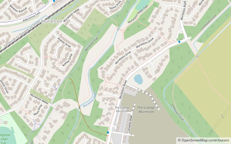
Murieston is a primarily residential district on the southern edge of Livingston, West Lothian, Scotland. It lies to the south-east of Bellsquarry. ()
Coordinates: 55°52'2"N, 3°30'11"W
Address
Livingston
ContactAdd
Social media
Add
Day trips
Murieston – popular in the area (distance from the attraction)
Nearby attractions include: Livingston Designer Outlet, The Centre, Funtastic fantasy Golf Limited, Museum of the Scottish Shale Oil Industry.
Frequently Asked Questions (FAQ)
How to get to Murieston by public transport?
The nearest stations to Murieston:
Train
Bus
Train
- Livingston South (8 min walk)
Bus
- B • Lines: 31 (32 min walk)


