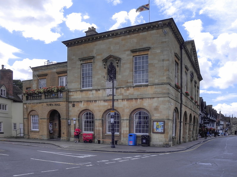
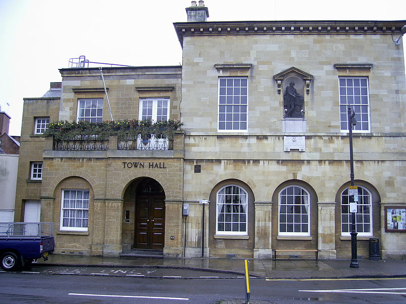
Stratford-upon-Avon Town Hall, Stratford-upon-Avon
Gallery (3)
Map
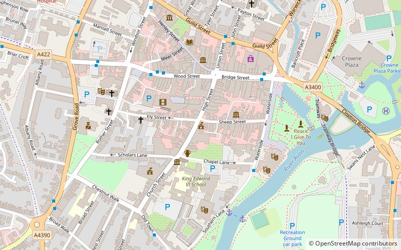
Map
Gallery
Facts and practical information
Stratford-upon-Avon Town Hall is a municipal building in Sheep Street, Stratford-upon-Avon, Warwickshire. It is a Grade II* listed building. ()
Coordinates: 52°11'29"N, 1°42'25"W
Address
Sheep StreetStratford-upon-Avon
ContactAdd
Social media
Add
Getting there by public transportation
Public transportation stops near this location
- Train
 Train
Train
- Calculate routeStratford-upon-Avon 12 min walk
- Calculate routeStratford-upon-Avon Parkway 37 min walk
Day trips
Stratford-upon-Avon Town Hall – popular in the area (distance from the attraction)
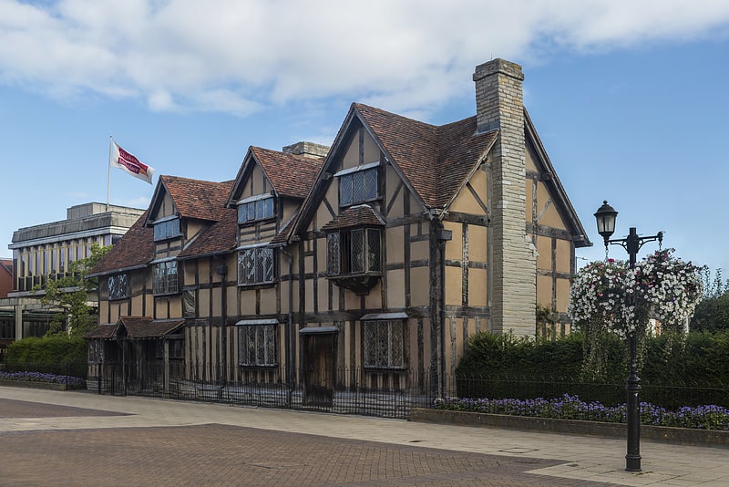
Nearby attractions include: Shakespeare's Birthplace, Anne Hathaway's Cottage, Holy Trinity Church, Stratford-upon-Avon Cricket Club Ground.


Frequently Asked Questions (FAQ)
Which popular attractions are close to Stratford-upon-Avon Town Hall?
Nearby attractions include Harvard House, Stratford-upon-Avon (1 min walk), Nash's House, Stratford-upon-Avon (2 min walk), New Place, Stratford-upon-Avon (2 min walk), Escape Arts - The Old Slaughterhouse, Stratford-upon-Avon (2 min walk).
How to get to Stratford-upon-Avon Town Hall by public transport?
The nearest stations to Stratford-upon-Avon Town Hall:
Train
Train
- Stratford-upon-Avon (12 min walk)
- Stratford-upon-Avon Parkway (37 min walk)