Tillydrone, Aberdeen

Map
Facts and practical information
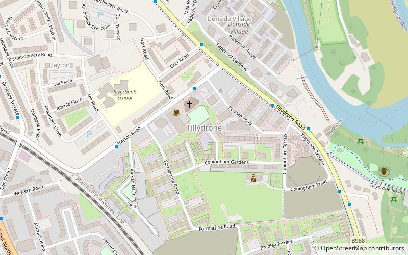
Tillydrone is an area of the city of Aberdeen, Scotland. Lying north of the city centre and slightly north-west of Old Aberdeen, it is roughly bounded by the River Don, St Machar Drive, and the main Aberdeen-Inverness railway line. ()
Coordinates: 57°10'18"N, 2°6'50"W
Address
Hayton RoadTillydrone - Seaton - Old Aberdeen (Tillydrone)Aberdeen
Contact
Social media
Add
Day trips
Tillydrone – popular in the area (distance from the attraction)
Nearby attractions include: Aberdeen Exhibition and Conference Centre, Pittodrie Stadium, Aberdeen Sports Village, St Machar's Cathedral.
Frequently Asked Questions (FAQ)
Which popular attractions are close to Tillydrone?
Nearby attractions include Diamond Bridge, Aberdeen (10 min walk), Cruickshank Botanic Garden, Aberdeen (11 min walk), St Machar's Cathedral, Aberdeen (12 min walk), Seaton Park, Aberdeen (13 min walk).
How to get to Tillydrone by public transport?
The nearest stations to Tillydrone:
Bus
Bus
- Don Street • Lines: 727 (10 min walk)
- Barron Street • Lines: 727 (10 min walk)


