Park Tunnel, Nottingham
Map

Map

Facts and practical information
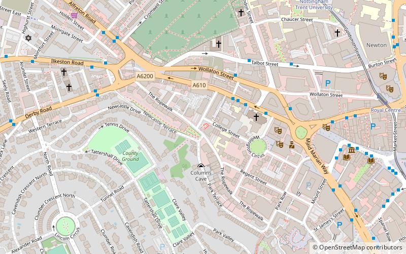
The Park Tunnel was built in 1855 to allow access between The Park Estate and Derby Road in the English city of Nottingham. ()
Coordinates: 52°57'16"N, 1°9'34"W
Address
Radford and ParkNottingham
ContactAdd
Social media
Add
Day trips
Park Tunnel – popular in the area (distance from the attraction)
Nearby attractions include: Ye Olde Trip to Jerusalem, Nottingham Castle, Old Market Square, Nottingham Cathedral.
Frequently Asked Questions (FAQ)
Which popular attractions are close to Park Tunnel?
Nearby attractions include Derby Road Baptist Church, Nottingham (2 min walk), Focus Gallery NG1, Nottingham (3 min walk), Nottingham Cathedral, Nottingham (3 min walk), Sky Mirror, Nottingham (4 min walk).
How to get to Park Tunnel by public transport?
The nearest stations to Park Tunnel:
Bus
Tram
Train
Bus
- Cathedral • Lines: 18, 20, 21, 28, 30, 31, 34, 35, 36, 37, 76, 77, 78, 79, 80, Bus Indigo, Bus The Two, i4, L10, L14, L3, L4, L64, L7, N28, N34, N36, N77, Two, W3, Y28, Y5 (3 min walk)
- Wollaton Street • Lines: 18, 20, 21, 331, 34, 65, 76, 77, 78, 79, Bus Indigo, i4, L64, N34, Rainbow 1, Two, Y5 (3 min walk)
Tram
- Nottingham Trent University • Lines: 1, 2 (8 min walk)
- Royal Centre • Lines: 1, 2 (9 min walk)
Train
- Nottingham (20 min walk)


