The Park Estate, Nottingham
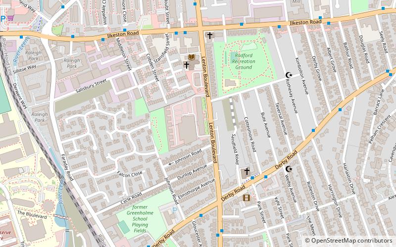
Map
Gallery
Facts and practical information
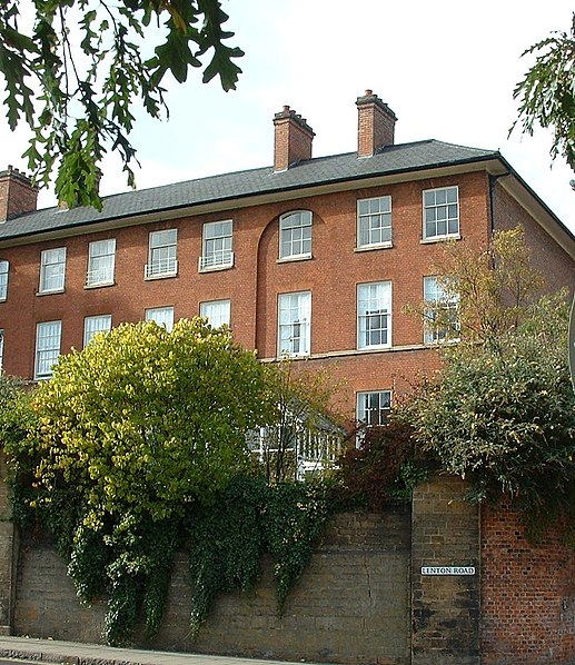
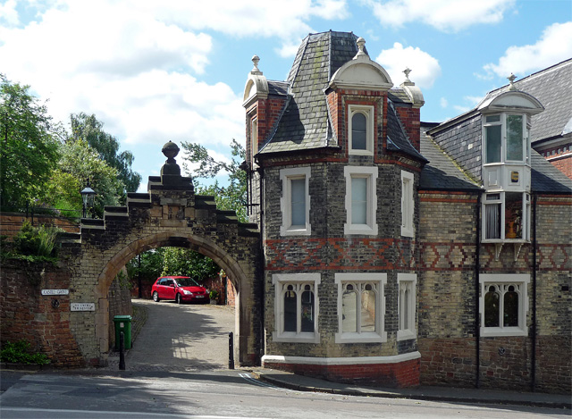
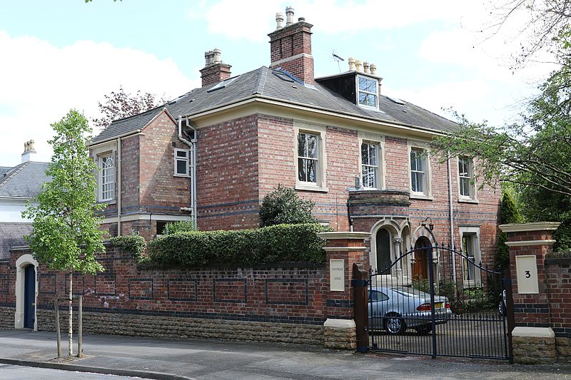
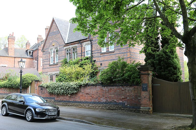
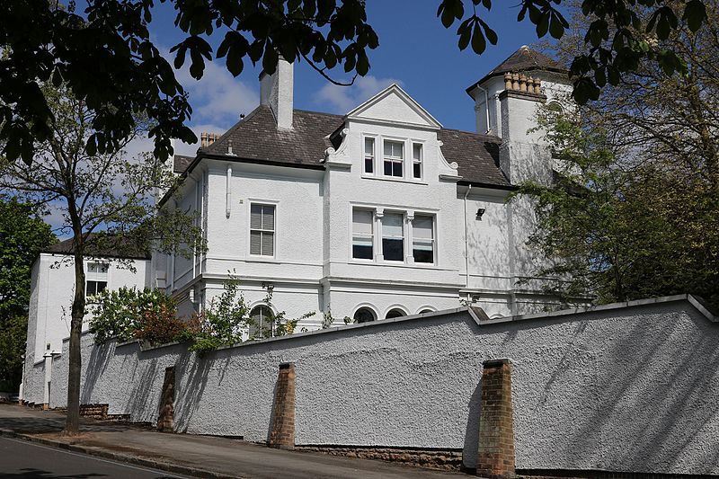
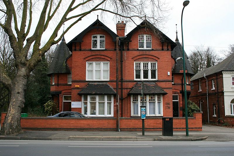
The Park Estate is a private residential housing estate to the west of Nottingham city centre, England. It is noted for its Victorian architecture, although many of the houses have been altered, extended or converted into flats. The estate uses gas street lighting, which is believed to be one of the largest networks in Europe. ()
Coordinates: 52°57'2"N, 1°9'51"W
Address
Radford and ParkNottingham
ContactAdd
Social media
Add
Day trips
The Park Estate – popular in the area (distance from the attraction)
Nearby attractions include: Ye Olde Trip to Jerusalem, Nottingham Castle, Savoy Cinema, Nottingham Cathedral.
Frequently Asked Questions (FAQ)
Which popular attractions are close to The Park Estate?
Nearby attractions include Cornerstone Church, Nottingham (8 min walk), Derby Road Baptist Church, Nottingham (8 min walk), Park Tunnel, Nottingham (9 min walk), Greek Orthodox Church of the Virgin Mary Eleousa, Nottingham (9 min walk).
How to get to The Park Estate by public transport?
The nearest stations to The Park Estate:
Bus
Tram
Train
Bus
- Ats • Lines: Skylink (7 min walk)
- Seely Road • Lines: 18, 20, 21, 34, 35, 36, 37, 65, Bus Indigo, i4, L2, L3, L64, N34, N36, Y5 (8 min walk)
Tram
- Meadows Way West • Lines: 1 (16 min walk)
- Royal Centre • Lines: 1, 2 (16 min walk)
Train
- Nottingham (22 min walk)


