Furnival Gardens, London
Map

Map

Facts and practical information
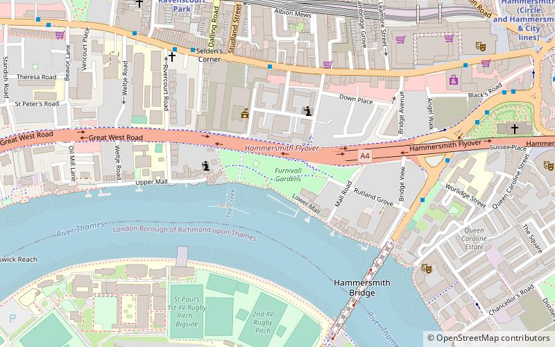
Furnival Gardens is a park in Hammersmith alongside the river Thames. ()
Elevation: 16 ft a.s.l.Coordinates: 51°29'26"N, 0°13'58"W
Address
Hammersmith and Fulham (Hammersmith Broadway)London
ContactAdd
Social media
Add
Day trips
Furnival Gardens – popular in the area (distance from the attraction)
Nearby attractions include: Kings Mall, Eventim Apollo, Hammersmith Bridge, St Nicholas Church.
Frequently Asked Questions (FAQ)
Which popular attractions are close to Furnival Gardens?
Nearby attractions include Hammersmith Town Hall, London (3 min walk), Kelmscott House, London (3 min walk), Hammersmith Bridge, London (6 min walk), Rivercourt Methodist Church, London (6 min walk).
How to get to Furnival Gardens by public transport?
The nearest stations to Furnival Gardens:
Bus
Metro
Train
Bus
- Hammersmith Town Hall • Lines: 110, 190, 218, 267, 27, 306, H91, N11, N266, N9 (4 min walk)
- Hammersmith Bridge / North Side • Lines: 72 (5 min walk)
Metro
- Hammersmith • Lines: Circle, District, Hammersmith & City, Piccadilly (11 min walk)
- Stamford Brook • Lines: District (17 min walk)
Train
- Shepherd's Bush (32 min walk)

 Tube
Tube


