Bog Meadows, Belfast
Map

Map

Facts and practical information
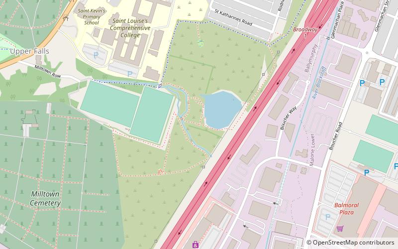
Bog Meadows is an area on the outskirts of west Belfast of 47 acres of grassland and woodland managed by the Ulster Wildlife Trust - grid reference: J3172. The M1 motorway passes through this area. To the west of the area lies Milltown Cemetery and St. Louise's Comprehensive College. To the east of the motorway is the Boucher Road area now mostly drained land with industrial units in the grounds along with underdeveloped areas. It is drained by the Blackstaff River. ()
Coordinates: 54°35'2"N, 5°57'58"W
Address
Gaeltacht Quarter (Falls Park)Belfast
ContactAdd
Social media
Add
Day trips
Bog Meadows – popular in the area (distance from the attraction)
Nearby attractions include: Ulster Museum, Naughton Gallery at Queen's, Park Centre, Kennedy Centre.
Frequently Asked Questions (FAQ)
Which popular attractions are close to Bog Meadows?
Nearby attractions include Windsor Park, Belfast (12 min walk), RISE Sculpture, Belfast (12 min walk), Milltown Cemetery, Belfast (13 min walk), Gaeltacht Quarter, Belfast (15 min walk).
How to get to Bog Meadows by public transport?
The nearest stations to Bog Meadows:
Train
Bus
Train
- Adelaide (15 min walk)
- Balmoral (28 min walk)
Bus
- Queen's University • Lines: 8A (31 min walk)
- Broomhill Park • Lines: 8A (35 min walk)


