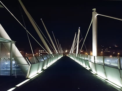
Forthside Bridge, Stirling
Map
Gallery
Facts and practical information
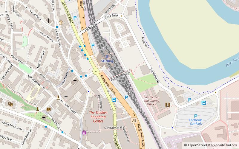
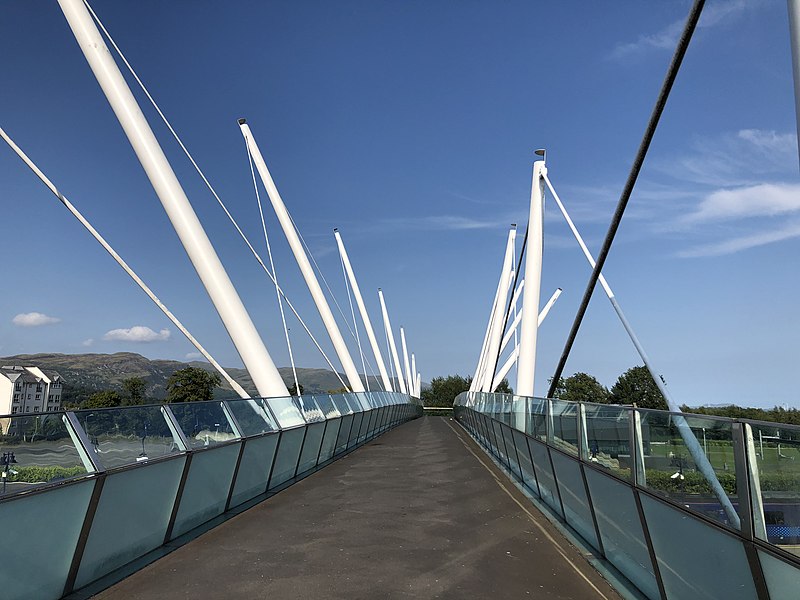
Forthside Bridge is a large pedestrian bridge located in the city of Stirling, in the Central Belt of Scotland. Opened on 2 May 2009, the bridge crosses Stirling railway station, a busy interchange station located on the former Caledonian Main Line and connects the city centre with the Forthside Development, a £90 million residential and leisure area on the banks of the River Forth. ()
Coordinates: 56°7'10"N, 3°56'3"W
Address
Stirling
ContactAdd
Social media
Add
Day trips
Forthside Bridge – popular in the area (distance from the attraction)
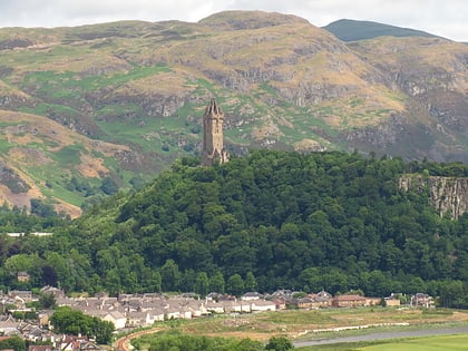
Nearby attractions include: Stirling Castle, Thistles Centre, Statue of Robert the Bruce, Argyll's Lodging.
Frequently Asked Questions (FAQ)
Which popular attractions are close to Forthside Bridge?
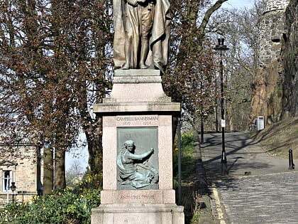
Nearby attractions include Blackfriars, Stirling (3 min walk), Statue of Henry Campbell-Bannerman, Stirling (7 min walk), Albert Halls, Stirling (9 min walk), Tolbooth Stirling, Stirling (10 min walk).
How to get to Forthside Bridge by public transport?
The nearest stations to Forthside Bridge:
Train
Bus
Train
- Stirling (2 min walk)
Bus
- Stirling Bus Station • Lines: 24, B12, C11, X39 (2 min walk)
- Allan Park South Church • Lines: B12 (7 min walk)
