Grafton Way, Milton Keynes
#43 among attractions in Milton Keynes
![Grafton Way location map](https://tzmedia.b-cdn.net/media/images/static-maps/gb/52_0755_-0_8482.jpg)
Facts and practical information
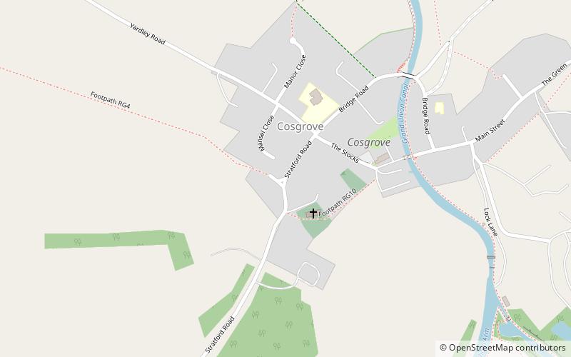
The Grafton Way is a 13-mile footpath in Northamptonshire, England. It runs south east from Greens Norton to Cosgrove, where it meets the Knightley Way. It is named after the Dukes of Grafton, major land-owners in the area in the 18th and 19th centuries. ()
Milton Keynes United Kingdom
Milton Keynes plan & book
Unleash the traveler in you — discover the cheapest flight deals, find the perfect hotel or hostel nearby, and search for the best car rental prices. Travel at your own pace to discover new places and enjoy your journey.
Grafton Way – popular in the area (distance from the attraction)
Nearby attractions include: Concrete Cows, The Church of Christ the Cornerstone, Milton Keynes Museum, Cosgrove aqueduct.
2.8 miSEMonuments and statues, SculptureConcrete Cows, Milton Keynes
72 min walk • The Concrete Cows in Milton Keynes, England are an iconic work of sculpture, created in 1978 by the American artist Liz Leyh. There are three cows and three calves, approximately half life size.
4.4 miSEChurchThe Church of Christ the Cornerstone, Milton Keynes
112 min walk • Church of Christ the Cornerstone is an Ecumenical church in Milton Keynes, Buckinghamshire. It was completed in 1991 and has the Church of England, the Baptist Union, the Methodist Church, the Roman Catholic Church and the United Reformed Church working together and share the space.
2.3 miSEMuseum, Specialty museum, Science museumMilton Keynes Museum, Milton Keynes
59 min walk • Milton Keynes Museum is an independent local museum in the parish of Wolverton and Greenleys in Milton Keynes, England. It is mostly run by volunteers with a small number of paid staff. The museum is housed in a former Victorian farmstead.
0.8 miSEBridgeCosgrove aqueduct, Milton Keynes
20 min walk • Cosgrove aqueduct is a navigable cast iron trough navigable aqueduct that carries the Grand Union Canal over the River Great Ouse, on the borders between Buckinghamshire and Northamptonshire at the northwest margin of Milton Keynes in England. The present structure was built in 1811, to replace a previous brick structure that had failed.
4.1 miSEChurchAll Saints Church, Milton Keynes
105 min walk • All Saints' Church is an ecumenical church located in Loughton, Milton Keynes, England.
4.4 miSEParkThe Buszy, Milton Keynes
112 min walk • "The Buszy", built in 2005, is a skatepark plaza in Milton Keynes, England. The skate area is covered almost entirely by the roof of the former Milton Keynes Central bus station. Pronounced "Buzzy" by the locals, the bus station, including the plaza that sits underneath its roof, is grade two listed.
3.3 miSEChurchTwo Mile Ash, Milton Keynes
85 min walk • Two Mile Ash is a district of north-west Milton Keynes in Buckinghamshire, England, two miles south of Stony Stratford, just off Watling Street. The district was named after the Two Mile Ash toll gate on Watling Street.
1.3 miSChurch, Gothic Revival architectureSt Mary & St Giles Church, Milton Keynes
34 min walk • St Mary & St Giles Church is a parish church in Stony Stratford, in Milton Keynes, England.
3 miSEMonastery, Historical placeBradwell Abbey, Milton Keynes
76 min walk • Bradwell Abbey or Bradwell Priory is a Scheduled Monument, urban studies site, district and former civil parish in Milton Keynes, Buckinghamshire, England. The site was once the location of a Benedictine priory, founded in 1155.
1.4 miNEForts and castlesCastlethorpe Castle
36 min walk • Castlethorpe Castle stood in the village of Castlethorpe, to the north of Milton Keynes, Buckinghamshire. This was originally a motte and bailey castle with a timber structure built by Winemar, the Flemish Lord of Hanslope in the 11th or 12th Century.
1.8 miSETown, AreaWolverton, Milton Keynes
47 min walk • Wolverton is a constituent town of Milton Keynes, England. It is located at the northern edge of Milton Keynes, beside the West Coast Main Line, the Grand Union Canal and the river Great Ouse.