Bear Flat, Bath
Map
Gallery
Facts and practical information
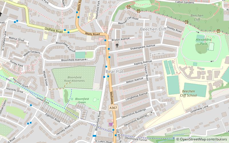
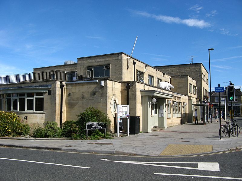
Bear Flat is a neighbourhood within the city of Bath, Somerset, England, to the south of the city centre and to the west of Beechen Cliff. It forms the southern part of the Widcombe and Lyncombe electoral ward. The Wellsway road to Shepton Mallet, runs through Bear Flat, forming part of the ancient British Roman Fosse Way. This was originally the main pilgrimage route from Bath and its abbey, to the nearby ecclesiastical centres of Wells and Glastonbury. ()
Coordinates: 51°22'21"N, 2°21'57"W
Address
Bath
ContactAdd
Social media
Add
Day trips
Bear Flat – popular in the area (distance from the attraction)
Nearby attractions include: Roman Baths, Bath Abbey, SouthGate, Bath Postal Museum.
Frequently Asked Questions (FAQ)
Which popular attractions are close to Bear Flat?
Nearby attractions include Devonshire Tunnel, Bath (6 min walk), Church of Our Lady & St Alphege, Bath (12 min walk), Bath Postal Museum, Bath (13 min walk), Mission Theatre, Bath (13 min walk).
How to get to Bear Flat by public transport?
The nearest stations to Bear Flat:
Bus
Train
Bus
- Kipling Avenue • Lines: 171, 172, 173, 174 (2 min walk)
- Shakespeare Avenue • Lines: 41 (2 min walk)
Train
- Bath Spa (14 min walk)
- Oldfield Park (20 min walk)


