Cuerdale, Preston
Map

Map

Facts and practical information
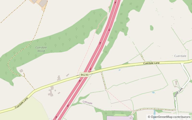
Cuerdale is a civil parish in the South Ribble district of Lancashire, England. It includes Cuerdale Hall and has no substantive settlements. It originated as a township in the parish of Blackburn, becoming a separate civil parish in 1866. From 1894, it formed part of the Preston Rural District, and under the Local Government Act 1972 became part of the South Ribble district in 1974. ()
Address
Samlesbury and WaltonPreston
ContactAdd
Social media
Add
Day trips
Cuerdale – popular in the area (distance from the attraction)
Nearby attractions include: St Leonard's Church, All Saints Church, Church of St Leonard the Less, Brockholes.
Frequently Asked Questions (FAQ)
How to get to Cuerdale by public transport?
The nearest stations to Cuerdale:
Bus
Bus
- Mill Tavern • Lines: 153 (23 min walk)
- Higher Walton, opposite Mill Tavern • Lines: 153 (23 min walk)


