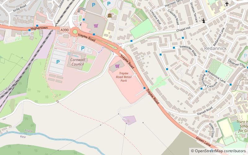
Treyew Road, Truro
Map
Facts and practical information
Treyew Road in Truro is the location of a football stadium, the home ground of Truro City. It currently has a capacity of 3,200, 1,675 seated. ()
Coordinates: 50°15'33"N, 5°3'57"W
Address
Truro
ContactAdd
Social media
Add
Getting there by public transportation
Public transportation stops near this location
- Bus
- Train
 Bus
Bus
- Calculate routeSainsbury 7 min walk
- Calculate routeCounty Arms 9 min walk
- Calculate routeRailway Station 9 min walk
- Calculate routeTruro 9 min walk
Day trips


Frequently Asked Questions (FAQ)
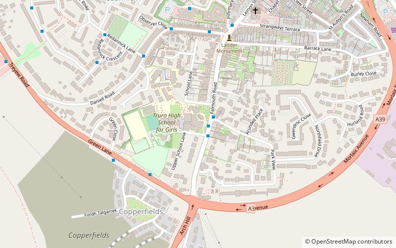
Which popular attractions are close to Treyew Road?
Nearby attractions include Roseland Observatory, Truro (12 min walk), St George the Martyr's Church, Truro (12 min walk), St John the Evangelist's Church, Truro (14 min walk), Courtney Library, Truro (15 min walk).
How to get to Treyew Road by public transport?
The nearest stations to Treyew Road:
Bus
Train
Bus
- Sainsbury • Lines: T1 (7 min walk)
- County Arms • Lines: Pr1, T1 (9 min walk)
Train
- Truro (9 min walk)