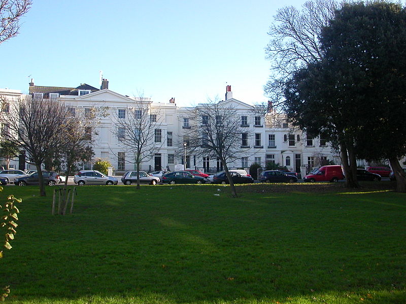
Seven Dials, Brighton
Map
Gallery
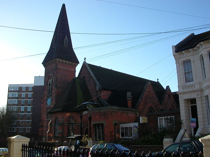
Facts and practical information
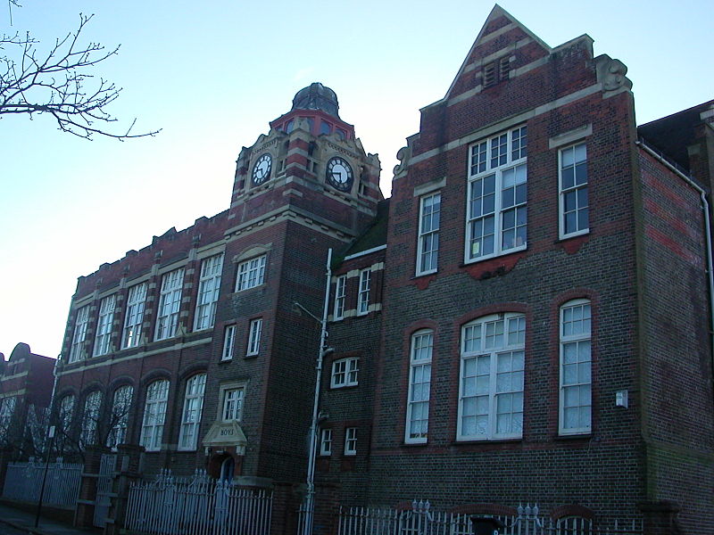
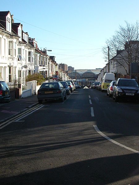
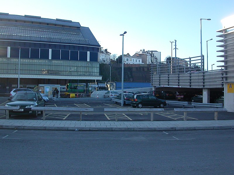
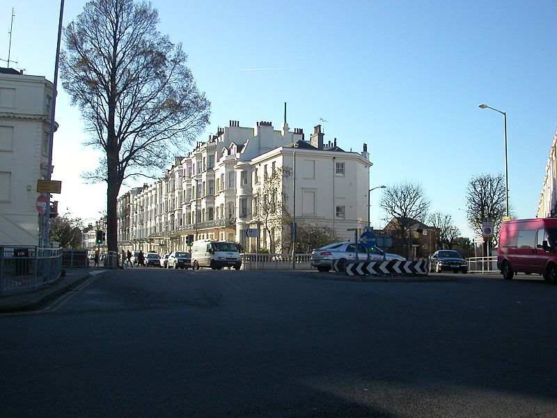
Seven Dials is a district surrounding a major road junction of the same name in Brighton, in the city of Brighton and Hove. It is located on high ground just northwest of Brighton railway station, south of the Prestonville area, and approximately ¾ mile north of the seafront. ()
Coordinates: 50°49'51"N, 0°8'51"W
Address
St. Peter's and North Laine (Seven Dials)Brighton
ContactAdd
Social media
Add
Day trips
Seven Dials – popular in the area (distance from the attraction)
Nearby attractions include: Churchill Square, Brighton Toy and Model Museum, Clock Tower, St Nicholas' Church.
Frequently Asked Questions (FAQ)
Which popular attractions are close to Seven Dials?
Nearby attractions include Montpelier Crescent, Brighton (3 min walk), St Michael's Church, Brighton (7 min walk), Brighton Toy and Model Museum, Brighton (9 min walk), St Mary and St Abraam Coptic Orthodox Church, Brighton (10 min walk).
How to get to Seven Dials by public transport?
The nearest stations to Seven Dials:
Bus
Train
Bus
- Seven Dials • Lines: 18, 21E, 27, 27B, 27C, 55, 59, 7, 77, N7 (1 min walk)
- Compton Avenue • Lines: 18, 21E, 27, 27B, 7, 77, N7 (3 min walk)
Train
- Brighton (9 min walk)
- London Road (17 min walk)


