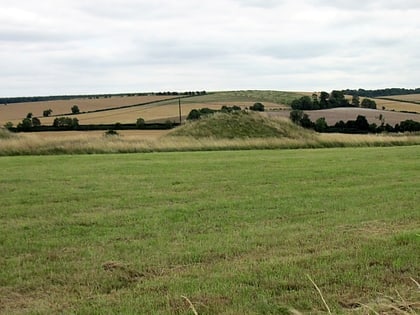
West Woods, Marlborough
Map
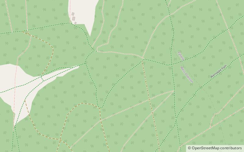
Map

Facts and practical information
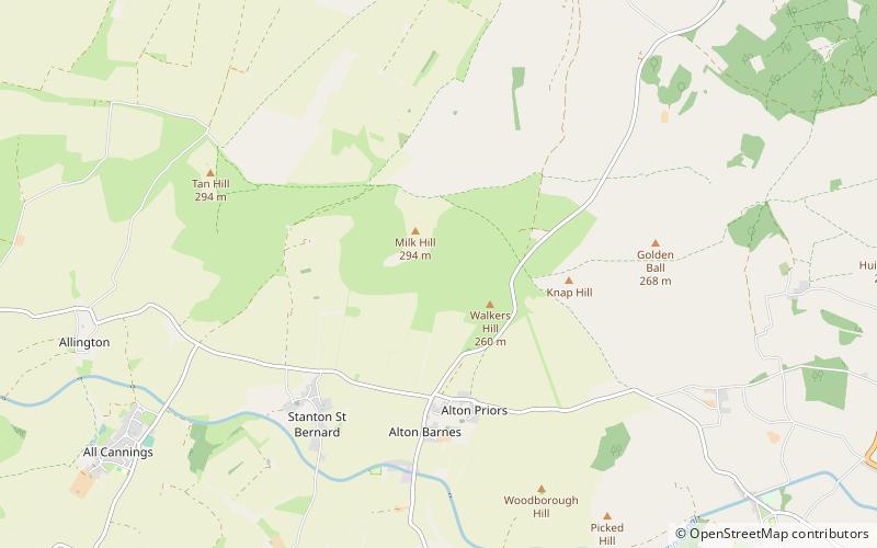
West Woods is a wood about 2+1⁄2 miles southwest of the market town of Marlborough in the English county of Wiltshire, United Kingdom. Its area is approximately 957 acres. It is open to the public, and is popular with visitors in the Spring, when bluebells cover the forest floor. ()
Coordinates: 51°23'42"N, 1°46'49"W
Address
Marlborough
ContactAdd
Social media
Add
Day trips
West Woods – popular in the area (distance from the attraction)
Nearby attractions include: West Kennet Long Barrow, St Mary's Church, Kennet Avenue, The Sanctuary.


