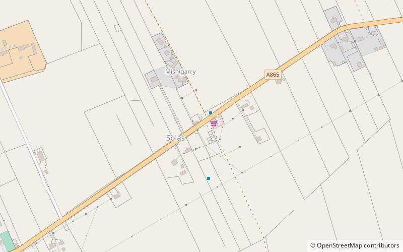
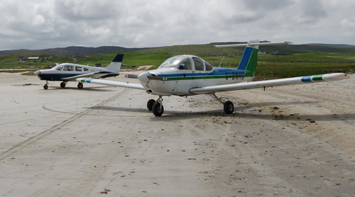
Sollas, North Uist
#14 among attractions in North Uist
![Sollas location map](https://tzmedia.b-cdn.net/media/images/static-maps/gb/57_65_-7_345.jpg)
![Sollas, North Uist](https://tzmedia.b-cdn.net/media/images/gb/place/gallery/medium/5ee69c099d7d12a81543868ddb3e3ded.jpg)
Facts and practical information
Sollas is a small crofting township on the northern coast of the island of North Uist, Scotland. ()
North Uist United Kingdom
North Uist plan & book
Unleash the traveler in you — discover the cheapest flight deals, find the perfect hotel or hostel nearby, and search for the best car rental prices. Travel at your own pace to discover new places and enjoy your journey.
Sollas – popular in the area (distance from the attraction)
Nearby attractions include: Barpa Langass, Dun an Sticir, Scolpaig Tower, Loch Sgadabhagh.
5.8 miSArchaeological siteBarpa Langass, North Uist
149 min walk • Barpa Langass, is a Neolithic chambered cairn on the Isle of North Uist in the Outer Hebrides of Scotland. It measures about 72 feet in diameter by 18 feet in height, and is around 5,000 years old.
5.5 miNEArchaeological siteDun an Sticir, North Uist
141 min walk • Dun an Sticir is an Iron Age broch situated approximately 9.5 kilometers north of Lochmaddy in a loch on North Uist in the Scottish Outer Hebrides. A building was erected on the site in the late medieval period.
5.1 miWTower, Archaeological siteScolpaig Tower, North Uist
129 min walk • Scolpaig Tower is a Georgian folly located near the village of Scolpaig on the island of North Uist in the Outer Hebrides. The name probably derives from the Old Norse scolpvik, or 'Scolp Bay'.
4.5 miSENature, Natural attraction, LakeLoch Sgadabhagh, North Uist
116 min walk • Loch Sgadabhagh or Loch Scadavay is a body of water on the island of North Uist, Scotland. The name may be of Old Norse derivation meaning "lake of tax bay" although if so, the reason is obscure.
4.9 miNEIslandBoreray
125 min walk • Boreray is an island with a single croft, lying 2 kilometres north of North Uist in the Outer Hebrides of Scotland.
5 miEArchaeological siteNa Fir Bhrèige, North Uist
128 min walk • Na Fir Bhrèige is a set of three standing stones on the Isle of North Uist in the Outer Hebrides. They lie on the northwestern slope of Blashaval. The stones are set in a line that runs WNW to ESE, nearly in alignment with the peaks of Blashaval and Maari. They protrude 0.7m...
4 miNEIslandLingeigh
103 min walk • Lingeigh is an uninhabited island off North Uist, south east of Boreray. It is separated from North Uist by Traigh Lingeigh.
2.6 miWIslandVallay
67 min walk • Vallay is an uninhabited tidal island in the Scottish Outer Hebrides. It can be reached from North Uist by a long beach at low tide. Once the island supported a population of nearly sixty people. Its best-known inhabitant was the archaeologist Erskine Beveridge. The island is...