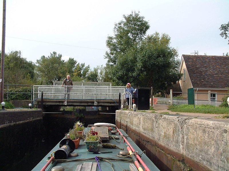
Stort Navigation, Harlow
Map

Gallery

Facts and practical information
The Stort Navigation is the canalised section of the River Stort running 22 kilometres from the town of Bishop's Stortford, Hertfordshire, downstream to its confluence with the Lee Navigation at Feildes Weir near Rye House, Hoddesdon, Hertfordshire. ()
Coordinates: 51°46'57"N, 0°5'48"E
Address
Harlow
ContactAdd
Social media
Add
Day trips
Stort Navigation – popular in the area (distance from the attraction)
Nearby attractions include: The Lock Climbing Wall, Harlow Town Park, The Square, Contrapuntal Forms.
Frequently Asked Questions (FAQ)
Which popular attractions are close to Stort Navigation?
Nearby attractions include Pets' Corner Harlow, Harlow (7 min walk), Harlow Town Park, Harlow (10 min walk), Harlow Marsh, Harlow (11 min walk), Contrapunctal Forms, Harlow (19 min walk).
How to get to Stort Navigation by public transport?
The nearest stations to Stort Navigation:
Train
Bus
Train
- Harlow Town (3 min walk)
Bus
- Harlow Town Railway Station • Lines: 1, 10, 14, 2, 3, 4, 6 (4 min walk)
- Allende Avenue • Lines: 10, 410, 724 (7 min walk)


