Partick, Glasgow
Map
Facts and practical information
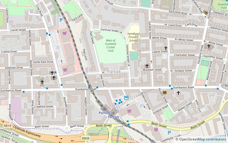
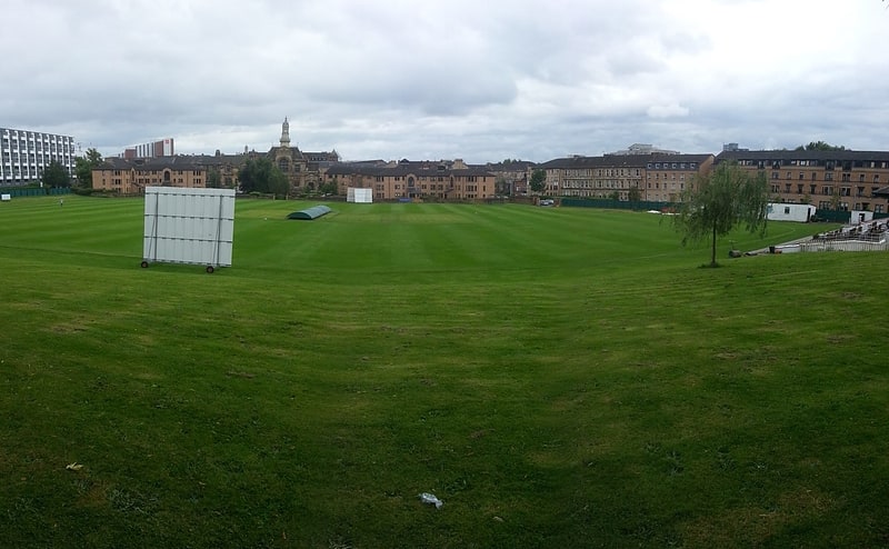
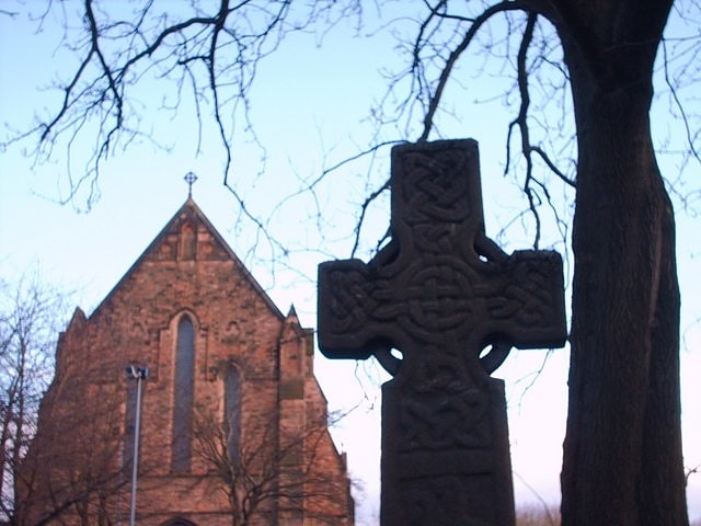
Partick is an area of Glasgow on the north bank of the River Clyde, just across from Govan. To the west lies Whiteinch, to the east Yorkhill and Kelvingrove Park, and to the north Broomhill, Hyndland, Dowanhill, Hillhead, areas which form part of the West End of Glasgow. Partick was a Police burgh from 1852 until 1912 when it was incorporated into the city. Partick is the area of the city most connected with the Highlands, and several Gaelic agencies, such as the Gaelic Books Council are located in the area. Some ATMs in the area display Gaelic. ()
Address
West End (Partick)Glasgow
ContactAdd
Social media
Add
Getting there by public transportation
Public transportation stops near this location
- Metro
- Bus
- Train
 Metro
Metro
- Calculate routePartick Bus Station 3 min walk
- Calculate routePartick, Dumbarton Road/ Peel Street 3 min walk
- Calculate routeDumbarton Road / Stewartville Street 5 min walk
- Calculate routePartick 3 min walk
- Calculate routeHyndland 16 min walk
- Calculate routeJordanhill 26 min walk
- Calculate routeExhibition Centre 31 min walk
- Calculate routePartick 4 min walk
- Calculate routeKelvinhall 9 min walk
- Calculate routeGovan 17 min walk
- Calculate routeHillhead 17 min walk
Day trips


Frequently Asked Questions (FAQ)
Which popular attractions are close to Partick?
Nearby attractions include Partick Burgh Hall, Glasgow (1 min walk), Hamilton Crescent, Glasgow (2 min walk), Partick Library, Glasgow (5 min walk), Partick South Parish Church, Glasgow (6 min walk).
How to get to Partick by public transport?
The nearest stations to Partick:
Bus
Train
Metro
Bus
- Partick Bus Station • Lines: 2, 3, 8, 90 (3 min walk)
- Partick, Dumbarton Road/ Peel Street • Lines: 2, 3 (3 min walk)
Train
- Partick (3 min walk)
- Hyndland (16 min walk)
Metro
- Partick • Lines: Subway (4 min walk)
- Kelvinhall • Lines: Subway (9 min walk)