Nedern Brook Wetlands, Caldicot
Map

Map

Facts and practical information
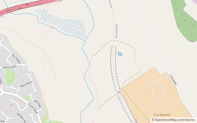
The Nedern Brook Wetland is a flood meadow habitat near Caldicot, Monmouthshire, Wales, designated since 1988 as a Site of Special Scientific Interest. The site is of 44.5 hectares and is bridged by the M48 motorway. The spelling Neddern is used in some documents. ()
Coordinates: 51°35'60"N, 2°44'31"W
Address
Caldicot
ContactAdd
Social media
Add
Day trips
Nedern Brook Wetlands – popular in the area (distance from the attraction)
Nearby attractions include: Dewstow House, Caldicot Castle, Venta Silurum, St Mary's Church.
Frequently Asked Questions (FAQ)
Which popular attractions are close to Nedern Brook Wetlands?
Nearby attractions include St Mary's Church, Caldicot (12 min walk), Caldicot Castle, Caldicot (13 min walk).


