Peterborough City Rowing Club, Peterborough
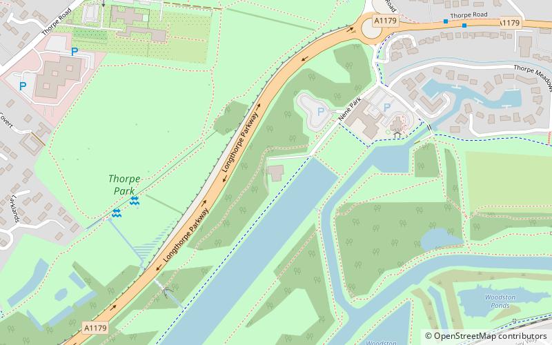
Map
Facts and practical information
Peterborough City Rowing Club is a rowing club based at Thorpe Meadows, Peterborough, Cambridgeshire. ()
Coordinates: 52°34'12"N, 0°16'14"W
Address
Peterborough
ContactAdd
Social media
Add
Getting there by public transportation
Public transportation stops near this location
- Bus
- Train
 Bus
Bus
- Calculate routeThorpe Meadows 8 min walk
- Calculate routeThorpe Hall 9 min walk
- Calculate routePeterborough High School 13 min walk
- Calculate routeWoburn Close 15 min walk
- Calculate routeOrton Mere 21 min walk
- Calculate routePeterborough 25 min walk
Day trips
Peterborough City Rowing Club – popular in the area (distance from the attraction)
Nearby attractions include: Queensgate shopping centre, Peterborough Guildhall, Peterborough Museum and Art Gallery, St John the Baptist Church.


Frequently Asked Questions (FAQ)
Which popular attractions are close to Peterborough City Rowing Club?
Nearby attractions include Thorpe Hall, Peterborough (7 min walk), Woodston Ponds, Peterborough (8 min walk), The Boardwalks, Peterborough (12 min walk), Longthorpe Tower, Peterborough (18 min walk).
How to get to Peterborough City Rowing Club by public transport?
The nearest stations to Peterborough City Rowing Club:
Bus
Train
Bus
- Thorpe Meadows • Lines: citi 2, X4 (8 min walk)
- Thorpe Hall • Lines: citi 2 (9 min walk)
Train
- Orton Mere (21 min walk)
- Peterborough (25 min walk)