Seething Lane, London
Map

Gallery

Facts and practical information
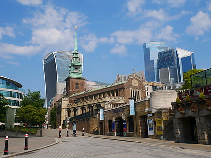
Seething Lane is a street in the City of London. It connects All Hallows-by-the-Tower, Byward Street, with St Olave's Church, Hart Street. The street is named after an Old English expression meaning "full of chaff", which was derived from the nearby corn market in Fenchurch Street. Samuel Pepys lived there and is buried in St Olave's Church at the junction with Hart Street. A bust of Pepys, created by Karin Jonzen, sits in the public garden at the south end of the street. ()
Elevation: 89 ft a.s.l.Coordinates: 51°30'37"N, 0°4'45"W
Address
City of London (Tower)London
ContactAdd
Social media
Add
Day trips
Seething Lane – popular in the area (distance from the attraction)
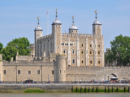
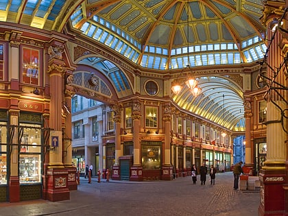
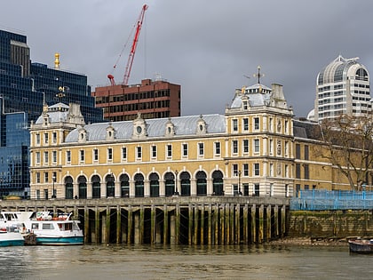
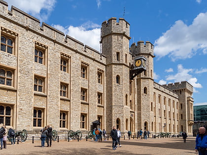
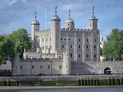
Nearby attractions include: Tower of London, Leadenhall Market, Old Billingsgate Market, Jewel House.
Frequently Asked Questions (FAQ)
Which popular attractions are close to Seething Lane?
Nearby attractions include London Wall, London (2 min walk), St Olave Hart Street, London (2 min walk), All Hallows-by-the-Tower, London (2 min walk), Trinity Square Gardens, London (2 min walk).
How to get to Seething Lane by public transport?
The nearest stations to Seething Lane:
Train
Metro
Ferry
Light rail
Bus
Train
- London Fenchurch Street (3 min walk)
- Bank (13 min walk)
Metro
- Tower Hill • Lines: Circle, District (3 min walk)
- Monument • Lines: Circle, District (8 min walk)
Ferry
- Tower Millennium Pier • Lines: Rb1, Rb1X, Rb2, Red Tour (6 min walk)
- London Bridge City Pier • Lines: Rb1, Rb1X, Rb2, Rb6 (9 min walk)
Light rail
- Tower Gateway Platform 1 • Lines: Tg-B (6 min walk)
- Bank Platform 9 • Lines: B-L, B-Wa (10 min walk)
Bus
- Minories • Lines: 075 (6 min walk)
- Fenchurch Street • Lines: 133, 26, 388, 8, N11, N133, N242, N26, N8 (8 min walk)

 Tube
Tube