Hamstead, Birmingham

Map
Facts and practical information
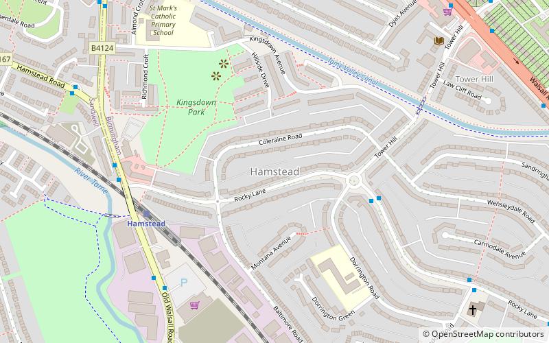
Hamstead is an area straddling the border of Birmingham and Sandwell, England, between Handsworth Wood and Great Barr, and adjacent to the Sandwell Valley area of West Bromwich. Hamstead Colliery was worked from the 19th century to the 1960s, with much housing built for the miners. Today the area is still referred to as Hamstead Village. ()
Coordinates: 52°31'54"N, 1°55'29"W
Address
Perry BarBirmingham
ContactAdd
Social media
Add
Day trips
Hamstead – popular in the area (distance from the attraction)
Nearby attractions include: Perry Barr Stadium, Alexander Stadium, St John the Evangelist's Church, Perry Hall Park.
Frequently Asked Questions (FAQ)
Which popular attractions are close to Hamstead?
Nearby attractions include Birmingham Crematorium, Birmingham (18 min walk), Perry Hall Park, Birmingham (19 min walk), Perry Park, Birmingham (24 min walk).
How to get to Hamstead by public transport?
The nearest stations to Hamstead:
Train
Train
- Hamstead (5 min walk)
- Perry Barr (37 min walk)


