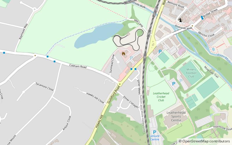
River Mole LNR, Leatherhead
Map

Map

Facts and practical information
River Mole LNR is a 23.3-hectare Local Nature Reserve in Leatherhead in Surrey. It is owned by private landowners and managed by the Environment Agency, Mole Valley District Council, Lower Mole Countryside Project, Leatherhead Trust, Surrey County Council and private landowners. ()
Elevation: 108 ft a.s.l.Coordinates: 51°17'31"N, 0°20'17"W
Address
Leatherhead
ContactAdd
Social media
Add
Day trips
River Mole LNR – popular in the area (distance from the attraction)
Nearby attractions include: Mole Gap Trail, Church of St Mary & St Nicholas, Thorndike Theatre, Church of Our Lady and St Peter.
Frequently Asked Questions (FAQ)
Which popular attractions are close to River Mole LNR?
Nearby attractions include Thorndike Theatre, Leatherhead (12 min walk), Wesley House, Leatherhead (12 min walk), Church of St Mary & St Nicholas, Leatherhead (13 min walk), Fetcham Park House, Leatherhead (17 min walk).
How to get to River Mole LNR by public transport?
The nearest stations to River Mole LNR:
Bus
Train
Bus
- Leatherhead Leisure Centre • Lines: 408, 465, 479 (2 min walk)
- The Mount • Lines: 479 (6 min walk)
Train
- Leatherhead (14 min walk)


