Rathbone Place, Dagenham
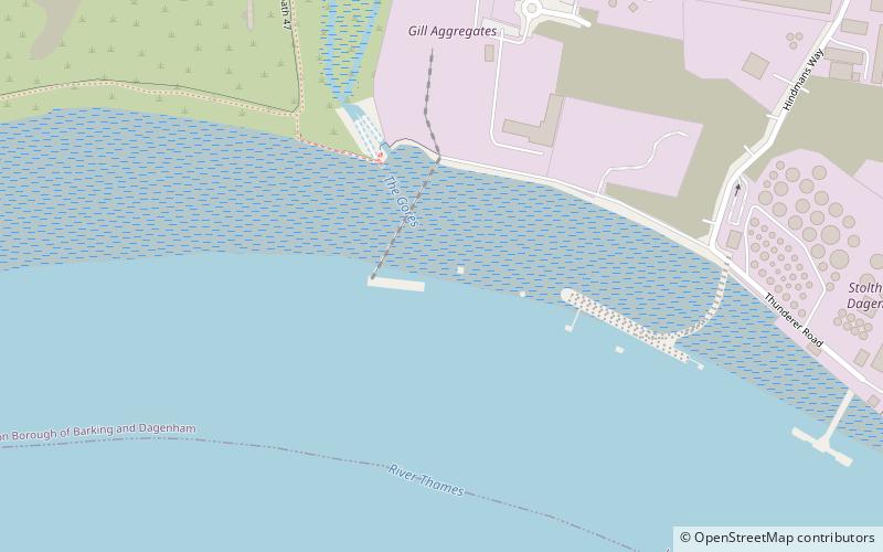
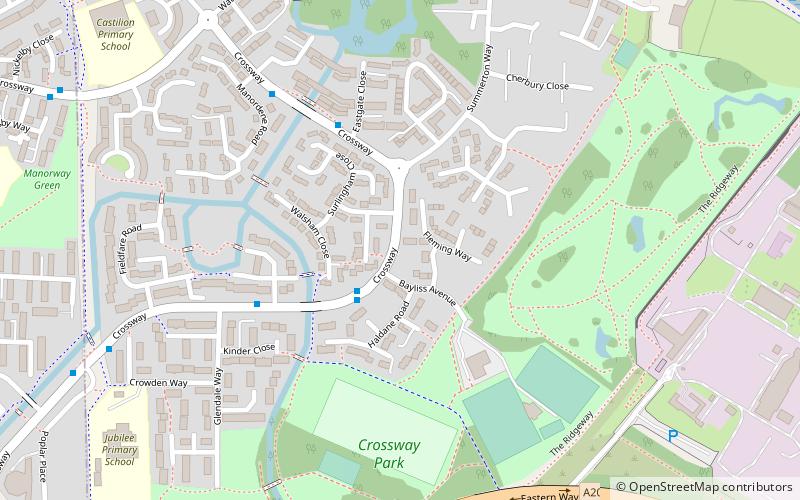
Map

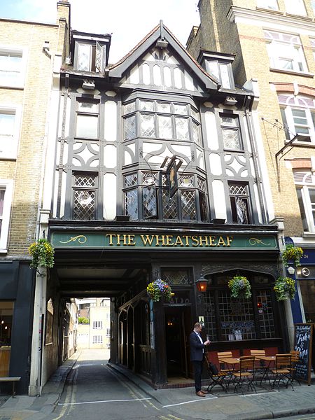
Gallery

Facts and practical information
Rathbone Place is a street in central London that runs roughly north-west from Oxford Street to Percy Street. it is joined on its eastern side by Percy Mews, Gresse Street, and Evelyn Yard. The street is mainly occupied by retail and office premises. ()
Coordinates: 51°31'3"N, 0°8'2"E
Address
Barking and Dagenham (Thames)Dagenham
ContactAdd
Social media
Add
Day trips
Rathbone Place – popular in the area (distance from the attraction)
Nearby attractions include: Crossness Pumping Station, Capital Karts, Scrattons Eco Park, Crossness Nature Reserve.
Frequently Asked Questions (FAQ)
Which popular attractions are close to Rathbone Place?
Nearby attractions include Dagenham Dock, Dagenham (9 min walk), Crossness Pumping Station, London (16 min walk), Central London, Dagenham (20 min walk), Scrattons Eco Park, Dagenham (21 min walk).
How to get to Rathbone Place by public transport?
The nearest stations to Rathbone Place:
Bus
Train
Bus
- Choats Manor Way • Lines: El2 (11 min walk)
- Hindmans Way • Lines: El2 (14 min walk)
Train
- Dagenham Dock (21 min walk)


