Subway Cowgate, Edinburgh

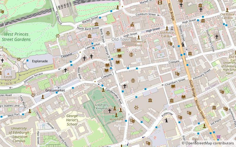
Map
Facts and practical information
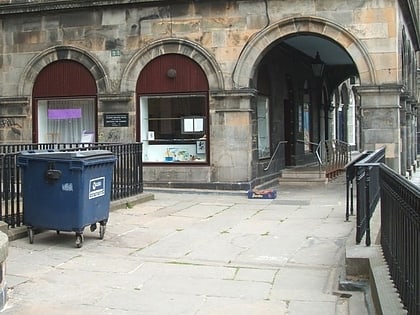
65 Cowgate is a multi-storey building situated on the historic Cowgate, Edinburgh, Scotland, which is used each August as a venue complex for the Edinburgh Festival Fringe, the world's largest open access festival. It is currently known during the Fringe as the Bar Bados Complex after the tiki bar on the ground floor, but was previously known by the name Cowgatehead. ()
Coordinates: 55°56'53"N, 3°11'30"W
Address
69 CowgateOld Town (Cowgate)Edinburgh
Contact
+44 131 225 7377
Social media
Add
Day trips
Subway Cowgate – popular in the area (distance from the attraction)
Nearby attractions include: St Giles' Cathedral, Greyfriars Kirkyard, Gladstone's Land, National Museum of Scotland.
Frequently Asked Questions (FAQ)
Which popular attractions are close to Subway Cowgate?
Nearby attractions include George IV Bridge, Edinburgh (1 min walk), National Library of Scotland, Edinburgh (1 min walk), The John Murray Archive, Edinburgh (1 min walk), Central Library, Edinburgh (1 min walk).
How to get to Subway Cowgate by public transport?
The nearest stations to Subway Cowgate:
Bus
Train
Tram
Bus
- Victoria Street • Lines: 23, 27, 41 (1 min walk)
- Chambers Street • Lines: 41 (2 min walk)
Train
- Edinburgh Waverley (7 min walk)
- Haymarket (28 min walk)
Tram
- Princes Street • Lines: Edinburgh Trams Eastbound, Edinburgh Trams Westbound (9 min walk)
- St Andrew Square • Lines: Edinburgh Trams Eastbound, Edinburgh Trams Westbound (12 min walk)


