Pill Harriers RFC, Newport
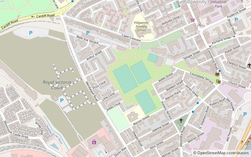
Map
Facts and practical information
Pill Harriers RFC are a Welsh rugby union club based in Newport in South Wales. The club is a member of the Welsh Rugby Union and is a feeder club for the Newport Gwent Dragons. ()
Coordinates: 51°34'32"N, 2°59'38"W
Address
Newport
ContactAdd
Social media
Add
Getting there by public transportation
Public transportation stops near this location
- Bus
- Train
 Bus
Bus
- Calculate routeNewport Bus Depot 22 min walk
- Calculate routeNewport Bus Station 22 min walk
- Calculate routeNewport Friars Walk 22 min walk
- Calculate routeHandpost 22 min walk
- Calculate routeNewport 25 min walk
Day trips


Frequently Asked Questions (FAQ)
Which popular attractions are close to Pill Harriers RFC?
Nearby attractions include Level of Mendalgief, Newport (9 min walk), Belle Vue Park, Newport (11 min walk), Newport Transporter Bridge, Newport (11 min walk), Pillgwenlly, Newport (13 min walk).
How to get to Pill Harriers RFC by public transport?
The nearest stations to Pill Harriers RFC:
Bus
Train
Bus
- Newport Bus Depot (22 min walk)
- Newport Bus Station (22 min walk)
Train
- Newport (25 min walk)