Coombs Dale, Peak District
Map

Map

Facts and practical information
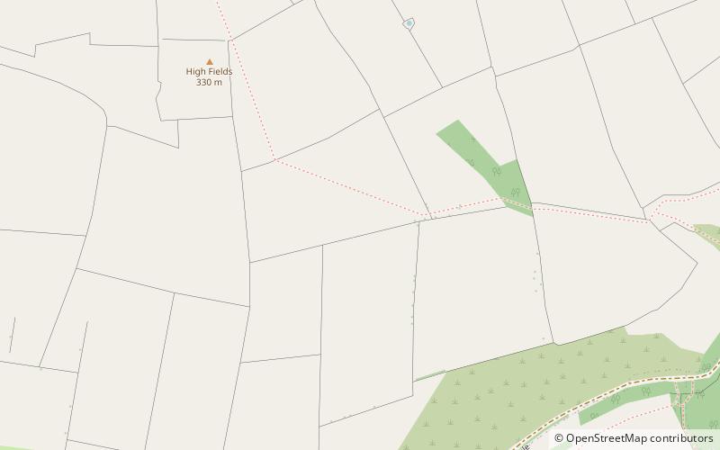
Coombs Dale is a steep-sided, dry carboniferous limestone valley in the Derbyshire Peak District of England. The village of Calver lies about 1 km to the east and the village of Stoney Middleton lies less than 1 km to the north. The dale is cut into the hills on the east side of Longstone Moor. The upper end of the dale is known as Rough Side. Several springs flow down the dale during winter and after heavy rains. ()
Coordinates: 53°16'5"N, 1°40'30"W
Address
Peak District
ContactAdd
Social media
Add
Day trips
Coombs Dale – popular in the area (distance from the attraction)
Nearby attractions include: Eyam Hall, St Lawrence's Church, St Martin's Church, Middleton Dale.
Frequently Asked Questions (FAQ)
How to get to Coombs Dale by public transport?
The nearest stations to Coombs Dale:
Bus
Bus
- Stoney Middleton The Dale • Lines: 174, 257, 65 (19 min walk)


