Gweunydd Pendinas, Aberystwyth
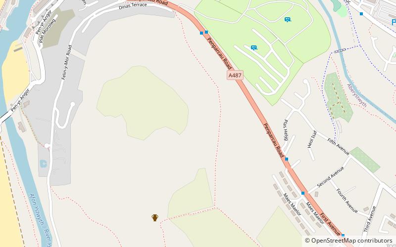
Map
Facts and practical information
Gweunydd Pendinas is a Site of Special Scientific Interest in Ceredigion, west Wales. ()
Area: 17.3 acres (0.027 mi²)Coordinates: 52°24'20"N, 4°4'51"W
Address
Aberystwyth
ContactAdd
Social media
Add
Getting there by public transportation
Public transportation stops near this location
- Bus
- Train
 Bus
Bus
- Calculate routeAberystwyth Holiday Village 5 min walk
- Calculate routePlas Helyg 5 min walk
- Calculate routeSecond Avenue 6 min walk
- Calculate routeTrefechan Fire Station 9 min walk
- Calculate routeVale of Rheidol 11 min walk
- Calculate routeAberystwyth 15 min walk
- Calculate routeLlanbadarn 21 min walk
- Calculate routeAberystwyth Cliff Railway Lower Station 30 min walk
Day trips


Frequently Asked Questions (FAQ)
Which popular attractions are close to Gweunydd Pendinas?
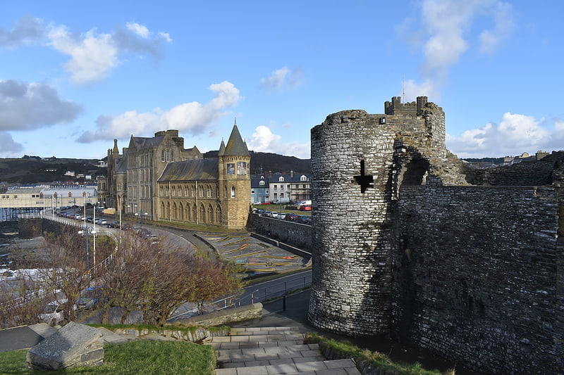
Nearby attractions include Pen Dinas, Aberystwyth (8 min walk), Penparcau, Aberystwyth (13 min walk), Aberystwyth Castle, Aberystwyth (17 min walk), Old College, Aberystwyth (19 min walk).
How to get to Gweunydd Pendinas by public transport?
The nearest stations to Gweunydd Pendinas:
Bus
Train
Bus
- Aberystwyth Holiday Village • Lines: 304, 522 (5 min walk)
- Plas Helyg • Lines: 304 (5 min walk)
Train
- Vale of Rheidol (11 min walk)
- Aberystwyth (15 min walk)