Kirkburn House, Peterhead

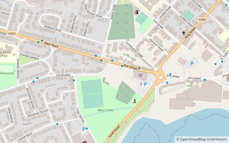
Map
Facts and practical information
Kirkburn House is a Category B listed building on South Road in Peterhead, Aberdeenshire, Scotland. It was the manse for the adjacent, now-ruined Old St Peter’s Church. Its name refers to the now-culverted burn in the hollow alongside the building. ()
Coordinates: 57°30'19"N, 1°47'29"W
Address
Peterhead
ContactAdd
Social media
Add
Day trips
Kirkburn House – popular in the area (distance from the attraction)
Nearby attractions include: Golf Club, Balmoor Stadium, Peterhead Baptist Church, Reform Monument.
Frequently Asked Questions (FAQ)
Which popular attractions are close to Kirkburn House?
Nearby attractions include Peterhead Baptist Church, Peterhead (6 min walk), Clerkhill, Peterhead (10 min walk), Balmoor Stadium, Peterhead (12 min walk), Field Marshal James Francis Edward Keith, Peterhead (14 min walk).
How to get to Kirkburn House by public transport?
The nearest stations to Kirkburn House:
Bus
Bus
- Windmill Street (12 min walk)


