Lady Anne's Way, Skipton
Map

Map

Facts and practical information
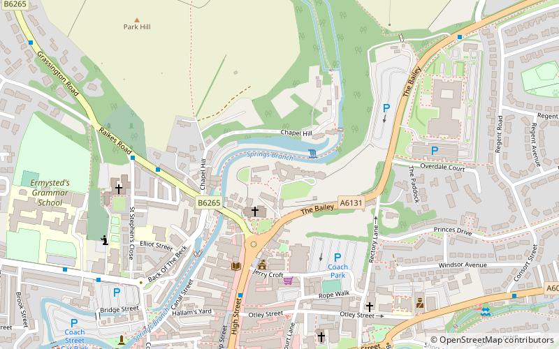
Lady Anne's Way is a 100-mile hiking route between Skipton and Penrith in Northern England. The trail is punctuated by houses and towers once owned by the Clifford family, but is named after Lady Anne Clifford who renovated and repaired the buildings in the 17th century. The route goes through Grassington, Buckden, Askrigg, Garsdale Head, Kirkby Stephen, Great Ormside, Appleby-in-Westmorland and Penrith. ()
Season: All yearCoordinates: 53°57'50"N, 2°0'55"W
Address
Skipton
ContactAdd
Social media
Add
Day trips
Lady Anne's Way – popular in the area (distance from the attraction)
Nearby attractions include: Skipton Castle, Craven Museum & Gallery, Holy Trinity Church, Plaza Cinema.
Frequently Asked Questions (FAQ)
Which popular attractions are close to Lady Anne's Way?
Nearby attractions include Skipton Castle, Skipton (1 min walk), Holy Trinity Church, Skipton (2 min walk), Craven Museum & Gallery, Skipton (3 min walk), Skipton Town Hall, Skipton (4 min walk).
How to get to Lady Anne's Way by public transport?
The nearest stations to Lady Anne's Way:
Bus
Train
Bus
- Market Place • Lines: 14, 580, 72, 72A, 873, Wizz (College AM & PM) (5 min walk)
- Castle View Terrace • Lines: 72, 72A (5 min walk)
Train
- Skipton (15 min walk)
- Embsay (33 min walk)


