Shibden Valley, Halifax
Map

Map

Facts and practical information
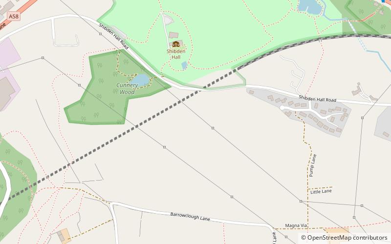
Shibden Valley is to the east of Halifax, West Yorkshire, England, where the community of Shibden lies. The name of the Shibden valley comes from scepe dene meaning "sheep valley" or "Sheep Vale". The area was heavily involved in wool production but was also a site of much coal production and flagstones from Northowram, Southowram and Hipperholme areas. ()
Coordinates: 53°43'34"N, 1°50'20"W
Address
Halifax
ContactAdd
Social media
Add
Day trips
Shibden Valley – popular in the area (distance from the attraction)
Nearby attractions include: Halifax Borough Market, Halifax Town Hall, Shibden Hall, Bankfield Museum.
Frequently Asked Questions (FAQ)
Which popular attractions are close to Shibden Valley?
Nearby attractions include Shibden Hall, Halifax (8 min walk), Halifax Minster, Halifax (17 min walk), Calderdale Industrial Museum, Halifax (20 min walk), Square Chapel, Halifax (20 min walk).
How to get to Shibden Valley by public transport?
The nearest stations to Shibden Valley:
Train
Bus
Train
- Halifax (18 min walk)
Bus
- Halifax Bus Station (21 min walk)


