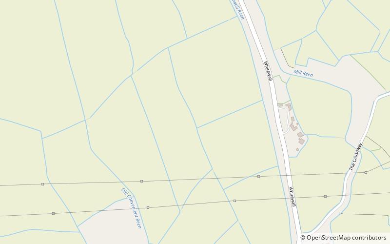
Caldicot and Wentloog Levels, Caldicot
Map

Map

Facts and practical information
The Caldicot and Wentloog Levels are two areas of low-lying estuarine alluvial wetland and intertidal mudflats adjoining the north bank of the Severn Estuary, either side of the River Usk estuary near Newport in south east Wales. They are also known collectively as the Monmouthshire Levels or Gwent Levels, and the name Wentloog is sometimes spelled Wentlooge in official publications. ()
Coordinates: 51°34'12"N, 2°49'30"W
Address
Caldicot
ContactAdd
Social media
Add
Day trips
Caldicot and Wentloog Levels – popular in the area (distance from the attraction)
Nearby attractions include: Magor Marsh, St Mary's Church, St Mary's Church, The Procurator's House.
Frequently Asked Questions (FAQ)
Which popular attractions are close to Caldicot and Wentloog Levels?
Nearby attractions include The Procurator's House, Magor (18 min walk), St Mary's Church, Magor (19 min walk).


