Bryn Offa, Wrexham
Map

Map

Facts and practical information
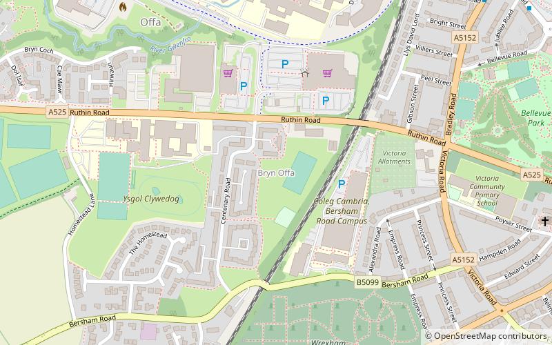
Bryn Offa is a small local-authority housing estate in the south-western suburbs of Wrexham, north-east Wales in the community of Offa, and is close to the Wrexham Maelor hospital. The main route through Bryn Offa is the A525 road to Ruthin Road. The estate is situated next to Ysgol Clywedog, and the Shrewsbury-Chester railway line. ()
Coordinates: 53°2'33"N, 3°0'28"W
Address
Wrexham
ContactAdd
Social media
Add
Day trips
Bryn Offa – popular in the area (distance from the attraction)
Nearby attractions include: Erddig, Eagles Meadow, St Giles' Church, Bersham Ironworks.
Frequently Asked Questions (FAQ)
Which popular attractions are close to Bryn Offa?
Nearby attractions include Parks and open spaces in Wrexham, Wrexham (9 min walk), Wrexham Cathedral, Wrexham (14 min walk), Grove Park Theatre, Wrexham (15 min walk), Denbighshire Coalfield, Wrexham (15 min walk).
How to get to Bryn Offa by public transport?
The nearest stations to Bryn Offa:
Train
Bus
Train
- Wrexham Central (12 min walk)
- Wrexham General (16 min walk)
Bus
- Wrexham Bus Station - Stand 1 • Lines: T3, Wrexham / Llangollen Express (16 min walk)
- Wrexham Bus Station (17 min walk)


