The Old Kings Arms, St Albans
Map

Map

Facts and practical information
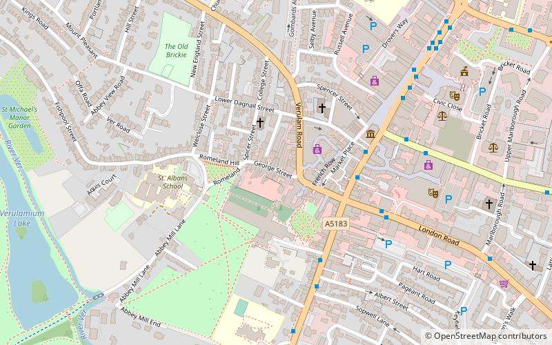
The Old Kings Arms is a public house at 7 George Street, St Albans, Hertfordshire, England. The timber framed building is sixteenth century and is listed Grade II with Historic England. ()
Coordinates: 51°45'5"N, 0°20'31"W
Address
George StreetSt Albans
ContactAdd
Social media
Add
Day trips
The Old Kings Arms – popular in the area (distance from the attraction)
Nearby attractions include: The Boot, St Albans Cathedral, Batchwood Hall, St Albans Museums.
Frequently Asked Questions (FAQ)
Which popular attractions are close to The Old Kings Arms?
Nearby attractions include Clock Tower, St Albans (2 min walk), St Albans Cathedral, St Albans (2 min walk), Abbey Gateway, St Albans (3 min walk), Gallery Rouge, St Albans (3 min walk).
How to get to The Old Kings Arms by public transport?
The nearest stations to The Old Kings Arms:
Bus
Train
Bus
- Town Hall • Lines: 724 (4 min walk)
- Abbey • Lines: 724 (5 min walk)
Train
- St Albans Abbey (12 min walk)
- St Albans City (16 min walk)


