Farnborough/Aldershot Built-up Area, Aldershot
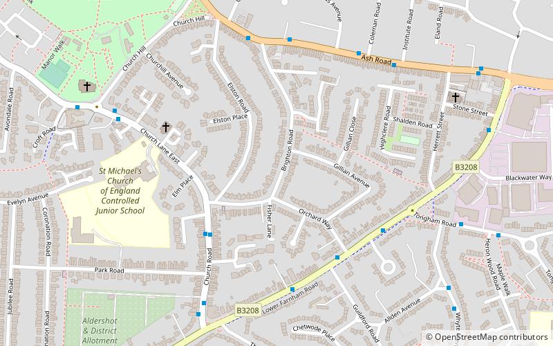
Map
Facts and practical information
Farnborough/Aldershot built-up area and Aldershot Urban Area are names used by the ONS to refer to a conurbation spanning the borders of Surrey, Berkshire and Hampshire in England. The ONS found a population of 252,937 in 2011. This makes it the 29th-largest built up area in England. ()
Coordinates: 51°14'24"N, 0°45'0"W
Address
Aldershot (Aldershot Park)Aldershot
ContactAdd
Social media
Add
Getting there by public transportation
Public transportation stops near this location
- Bus
- Train
 Bus
Bus
- Calculate routeRed Lion 5 min walk
- Calculate routeColeman Road 6 min walk
- Calculate routePrince of Wales 8 min walk
- Calculate routeAldershot 16 min walk
Day trips


Frequently Asked Questions (FAQ)
Which popular attractions are close to Farnborough/Aldershot Built-up Area?
Nearby attractions include Church of St Michael the Archangel, Aldershot (8 min walk), Manor Park, Aldershot (10 min walk), Brickfields Country Park, Aldershot (12 min walk), Aldershot Park, Aldershot (14 min walk).
How to get to Farnborough/Aldershot Built-up Area by public transport?
The nearest stations to Farnborough/Aldershot Built-up Area:
Bus
Train
Bus
- Red Lion • Lines: 520, Kite (5 min walk)
- Coleman Road • Lines: 520, Kite (6 min walk)
Train
- Aldershot (16 min walk)