University College London, London
Map
Facts and practical information
University College London, which operates as UCL, is a major public research university located in London, United Kingdom. UCL is a member institution of the federal University of London, and is the second-largest university in the United Kingdom by total enrolment and the largest by postgraduate enrolment. ()
Getting there by public transportation
Public transportation stops near this location
- Metro
- Bus
- Train
 Metro
Metro
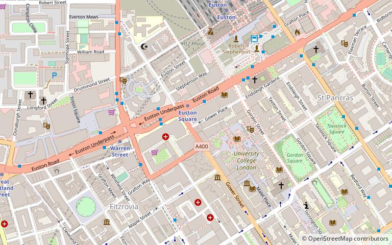
- Calculate routeEuston Square 1 min walk
- Calculate routeWarren Street 4 min walk
- Calculate routeEuston 7 min walk
- Calculate routeGoodge Street 9 min walk
- Calculate routeEuston Square Station 2 min walk
- Calculate routeUniversity College Hospital / Warren Street Station 2 min walk
- Calculate routeWarren Street Station / Tottenham Court Road 5 min walk
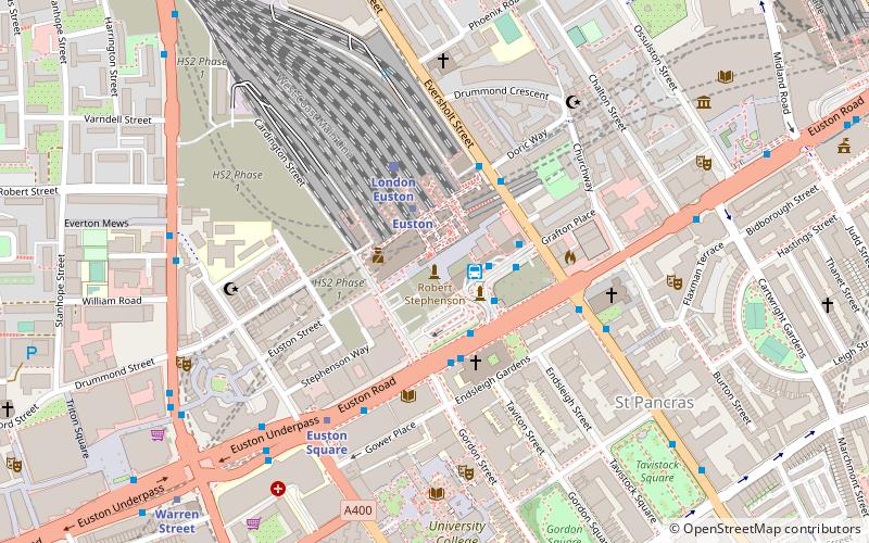
- Calculate routeLondon Euston 7 min walk
- Calculate routeLondon St. Pancras International 15 min walk
- Calculate routeLondon King's Cross 19 min walk
- Calculate routeCamden Road 30 min walk
Maps Tube
Tube
TubeDay trips
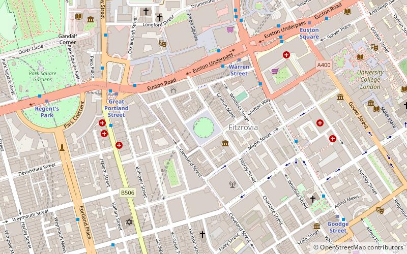
University College London – popular in the area (distance from the attraction)
Nearby attractions include: BT Tower, Grant Museum of Zoology, Shaw Theatre, Euston Tap.


Frequently Asked Questions (FAQ)
Which popular attractions are close to University College London?
Nearby attractions include Wellcome Collection, London (2 min walk), Euston Road, London (3 min walk), The Magic Circle, London (3 min walk), Bloomsbury Theatre, London (3 min walk).
How to get to University College London by public transport?
The nearest stations to University College London:
Metro
Bus
Train
Metro
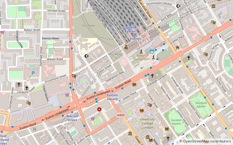
- Euston Square • Lines: Circle, Hammersmith & City, Metropolitan (1 min walk)
- Warren Street • Lines: Northern, Victoria (4 min walk)
Bus
- Euston Square Station • Lines: 30, N253 (2 min walk)
- University College Hospital / Warren Street Station • Lines: 30 (2 min walk)
Train
- London Euston (7 min walk)
- London St. Pancras International (15 min walk)