Bourne Park House, Kent Downs

Gallery (2)
Map
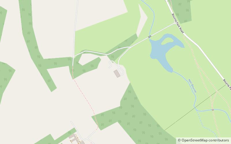
Map
Gallery
Facts and practical information
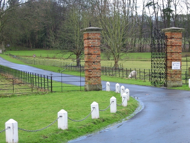
Bourne Park House is a Queen Anne style country house on Bourne Park Road, between Bishopsbourne and Bridge near Canterbury in Kent. Built in 1701, it has been listed Grade I listed on the National Heritage List for England since 1954. An 18th century red brick Ice house and a bridge that spans the Nailbourne that feeds the lake in the grounds of Bourne Park are both Grade II listed. ()
Coordinates: 51°14'9"N, 1°7'24"E
Address
Kent Downs
ContactAdd
Social media
Add
Day trips


