Almary Green, Norwich

Map
Facts and practical information
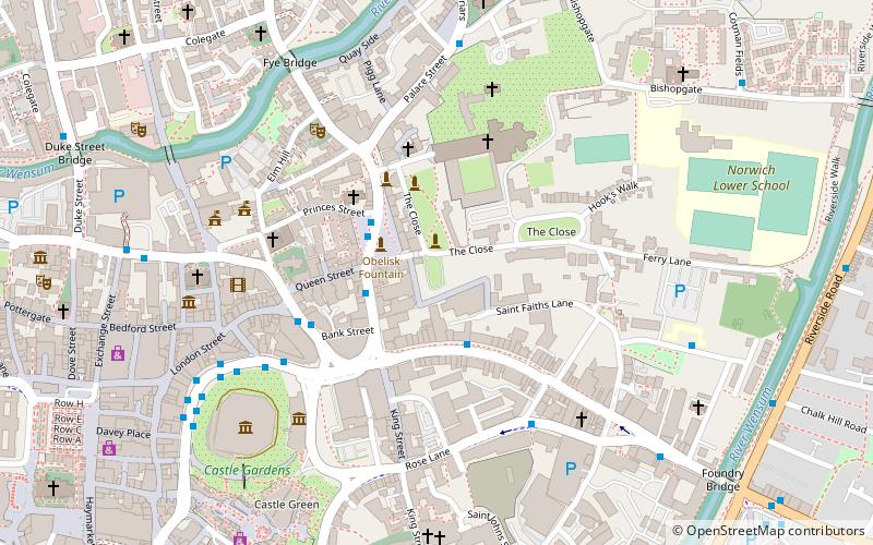
Almary Green is a small lawn in the Cathedral Close in Norwich, Norfolk, England. It is thought to be the site of the probably pre-Conquest church of St Ethelbert, which was burnt to the ground in the 1272 riots along with the bell tower and the Ethelbert Gate, with the latter being rebuilt by the Town on order of King John. ()
Elevation: 43 ft a.s.l.Coordinates: 52°37'49"N, 1°18'0"E
Address
Thorpe (Thorpe Hamlet)Norwich
ContactAdd
Social media
Add
Day trips
Almary Green – popular in the area (distance from the attraction)
Nearby attractions include: Norwich Cathedral, Norwich Castle, Cinema City, Hungate Medieval Art.
Frequently Asked Questions (FAQ)
Which popular attractions are close to Almary Green?
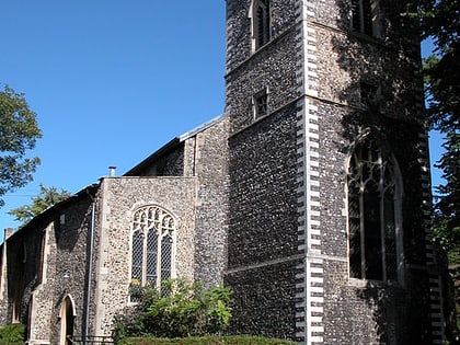
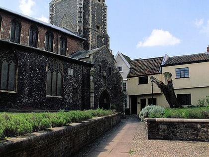
Nearby attractions include St Mary the Less, Norwich (2 min walk), Norwich Buddhist Centre, Norwich (3 min walk), St George's Church, Norwich (3 min walk), Norwich Cathedral, Norwich (3 min walk).
How to get to Almary Green by public transport?
The nearest stations to Almary Green:
Bus
Train
Bus
- Tombland, Stop CP • Lines: 11, 11A, 11B, 12, 21, 210, 21A, 22, 36, 37, 38, 39, 50, 50A, X11, X5 (2 min walk)
- Upper King Street, Stop CK • Lines: 603, 606, X5 (2 min walk)
Train
- Norwich (11 min walk)


