Glassford Street, Glasgow
Map
Facts and practical information
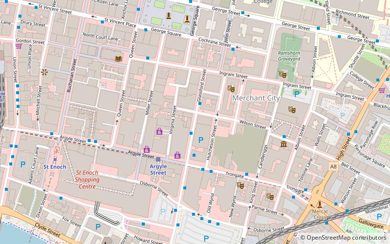
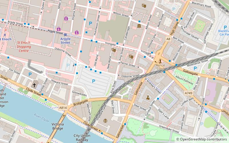
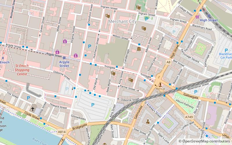
Glassford Street is a major thoroughfare in the city of Glasgow, the largest city in Scotland. The street runs north from the junction of Argyle Street and Trongate through the Merchant City until it meets Ingram Street. ()
Coordinates: 55°51'31"N, 4°14'56"W
Address
City Centre (Merchant City)Glasgow
ContactAdd
Social media
Add
Getting there by public transportation
Public transportation stops near this location
- Metro
- Bus
- Train
 Metro
Metro
- Calculate routeGlassford Street / Garth Street 1 min walk
- Calculate routeTrongate / Hutcheson Street 3 min walk
- Calculate routeStockwell Street / Osborne Street 3 min walk
- Calculate routeArgyle Street 3 min walk
- Calculate routeGlasgow Queen Street Low Level 7 min walk
- Calculate routeGlasgow Queen Street 8 min walk
- Calculate routeGlasgow Central 9 min walk
- Calculate routeSt Enoch 7 min walk
- Calculate routeBuchanan Street 9 min walk
- Calculate routeBridge Street 15 min walk
- Calculate routeCowcaddens 20 min walk
Day trips


Frequently Asked Questions (FAQ)
Which popular attractions are close to Glassford Street?
Nearby attractions include Wilson Street, Glasgow (1 min walk), Argyle Street, Glasgow (2 min walk), Merchant City, Glasgow (3 min walk), Dunlop Street, Glasgow (4 min walk).
How to get to Glassford Street by public transport?
The nearest stations to Glassford Street:
Bus
Train
Metro
Bus
- Glassford Street / Garth Street • Lines: 2 (1 min walk)
- Trongate / Hutcheson Street • Lines: 2 (3 min walk)
Train
- Argyle Street (3 min walk)
- Glasgow Queen Street Low Level (7 min walk)
Metro
- St Enoch • Lines: Subway (7 min walk)
- Buchanan Street • Lines: Subway (9 min walk)