Sonning Lane, Reading
Map
Map

Facts and practical information
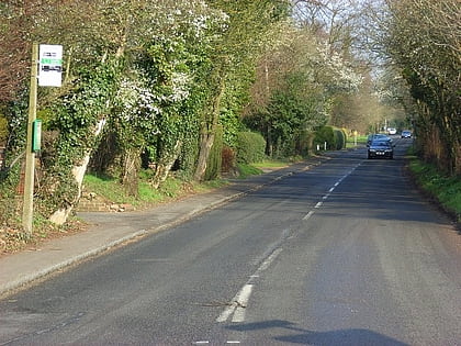
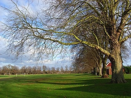
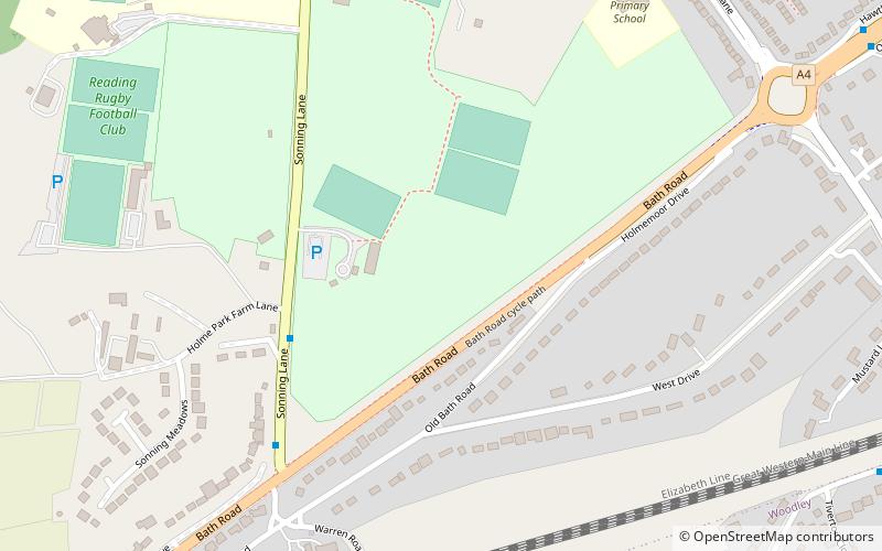
Sonning Lane is a cricket and hockey ground in Reading, Berkshire, England, near the village of Sonning. It is located on a road called Sonning Lane between the A4 road and Sonning, hence the name. ()
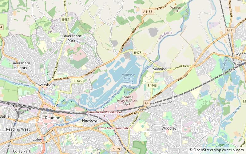
Coordinates: 51°27'56"N, 0°54'41"W
Address
Reading
ContactAdd
Social media
Add
Day trips
Sonning Lane – popular in the area (distance from the attraction)
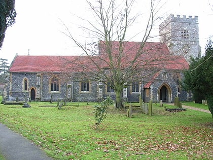
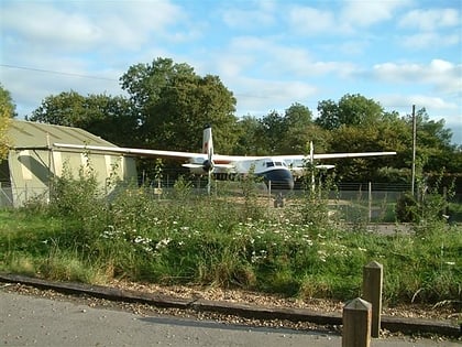
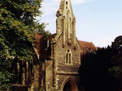
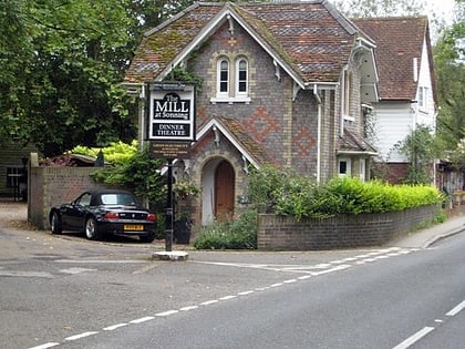
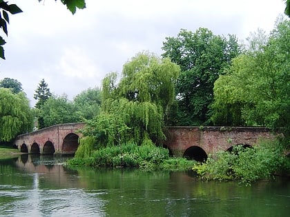
Nearby attractions include: St Andrew's Church, Museum of Berkshire Aviation, St John the Evangelist Church, The Mill at Sonning.
Frequently Asked Questions (FAQ)
Which popular attractions are close to Sonning Lane?
Nearby attractions include Ali's Pond Local Nature Reserve, Reading (9 min walk), Sonning Lock, Reading (15 min walk), St Andrew's Church, Reading (15 min walk), Deanery Garden, Reading (16 min walk).
How to get to Sonning Lane by public transport?
The nearest stations to Sonning Lane:
Bus
Bus
- Hanwood Close • Lines: 14 (14 min walk)
- Howth Drive top • Lines: 13, 14 (15 min walk)
