Coney Street, York
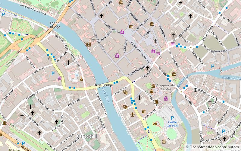
Map
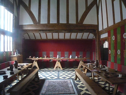
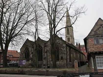
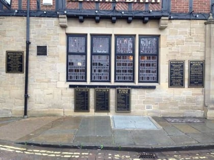
Gallery
Facts and practical information
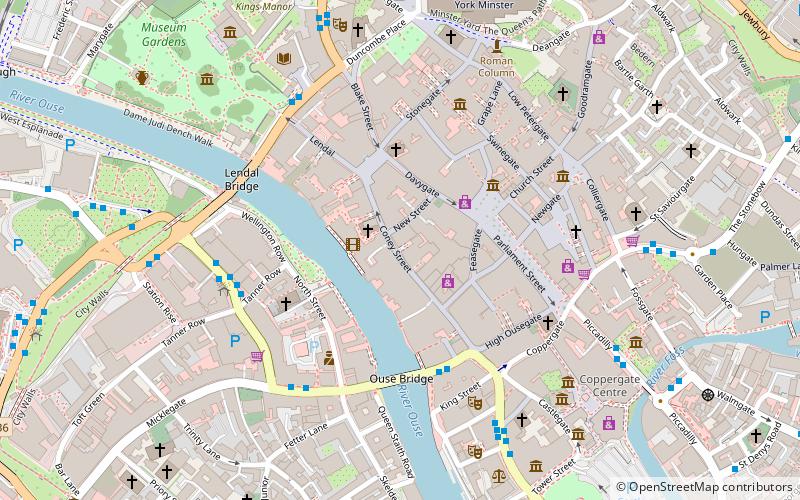
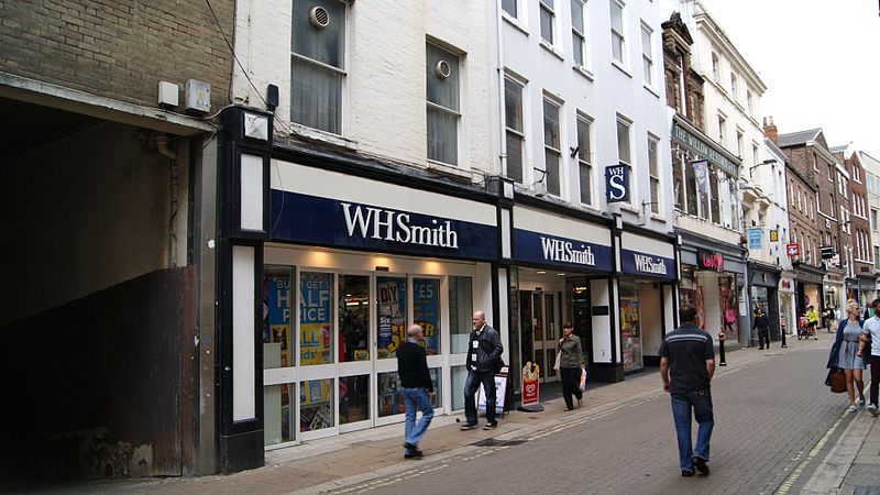
Coney Street is a major shopping street in the city centre of York, in England. The street runs north-west from the junction of Spurriergate and Market Street, to St Helen's Square. New Street leads off the north-east side of the street, as does a snickelway leading to the Judge's Court hotel, while several snickelways lead from the south-west side down to the River Ouse, including Blanshard's Lane, and paths leading to City Screen. ()
Coordinates: 53°57'33"N, 1°5'2"W
Address
GuildhallYork
ContactAdd
Social media
Add
Day trips
Coney Street – popular in the area (distance from the attraction)
Nearby attractions include: Spurriergate Centre, Mansion House, York's Chocolate Story, Barley Hall.
Frequently Asked Questions (FAQ)
Which popular attractions are close to Coney Street?
Nearby attractions include Next, York (1 min walk), Davygate, York (2 min walk), Mansion House, York (2 min walk), St Helen's Square, York (2 min walk).
How to get to Coney Street by public transport?
The nearest stations to Coney Street:
Bus
Train
Bus
- Low Ousegate • Lines: 10 (3 min walk)
- Rougier Street • Lines: 10, 44, 66 (4 min walk)
Train
- York (11 min walk)

