Council Buildings, Rushden
Map

Map

Facts and practical information
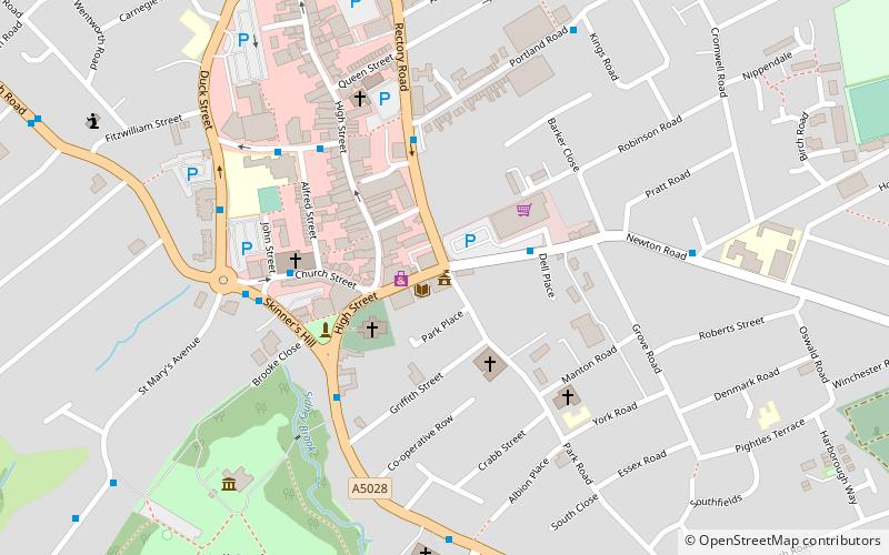
The Council Buildings are based in Newton Road, Rushden, Northamptonshire, England. The structure, which was the headquarters of Rushden Urban District Council, is a locally listed building. ()
Coordinates: 52°17'21"N, 0°35'45"W
Address
Rushden
ContactAdd
Social media
Add
Day trips
Council Buildings – popular in the area (distance from the attraction)
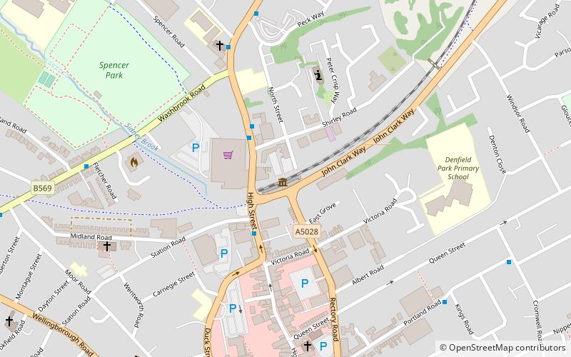
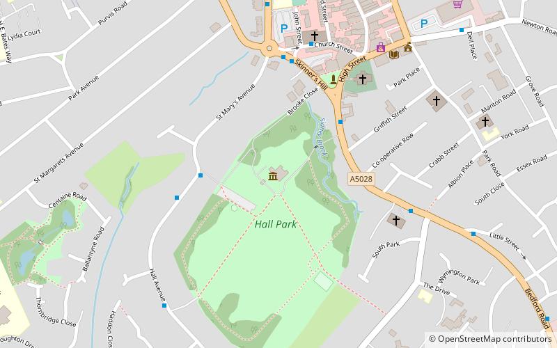
Nearby attractions include: Rushden Transport Museum, St Mary's Church, Rushden Hall, Town Ground.
Frequently Asked Questions (FAQ)
Which popular attractions are close to Council Buildings?
Nearby attractions include Rushden Hall, Rushden (7 min walk), Rushden Transport Museum, Rushden (10 min walk).


