Goyt Way, Stockport


Facts and practical information
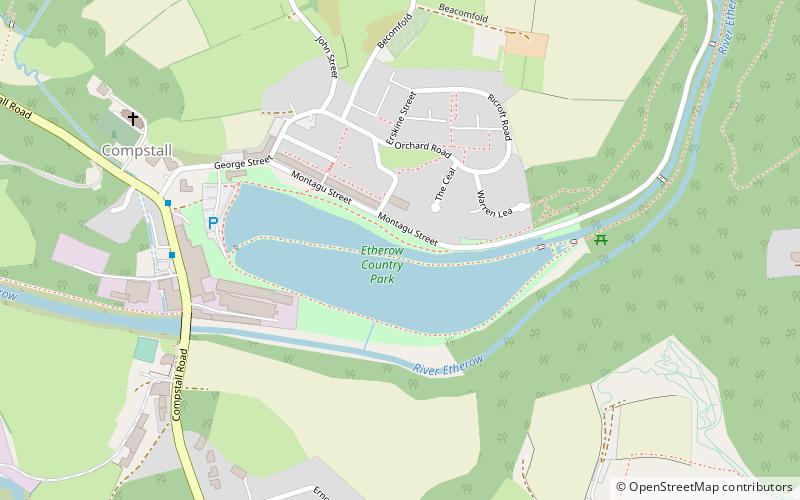
The Goyt Way is a 10-mile walking route from Etherow Country Park, Greater Manchester, to Whaley Bridge, Derbyshire, following the valley of the River Goyt. It is part of the longer Midshires Way, which in turn is part of the E2 European long-distance path. The path is waymarked, and intersects with the Cheshire Ring Canal Walk and the Peak District Boundary Walk. It passes through the following settlements: Compstall, Marple, Strines, Brookbottom, Hague Bar, New Mills and Furness Vale. In its latter stages, it follows the towpath of the Peak Forest Canal to its terminus at Whaley Bridge. ()
Stockport (Marple North)Stockport
Goyt Way – popular in the area (distance from the attraction)
Nearby attractions include: Marple Aqueduct, Etherow Country Park, St Thomas' Church, Mellor, Church of St Martin.
Frequently Asked Questions (FAQ)
Which popular attractions are close to Goyt Way?
How to get to Goyt Way by public transport?
Bus
- Compstall, Andrew Street / Compstall Village • Lines: 383 (6 min walk)
- Compstall, Andrew Street / at Compstall Village • Lines: 384 (6 min walk)
Train
- Marple (26 min walk)


