The Liberal Jewish Synagogue, London
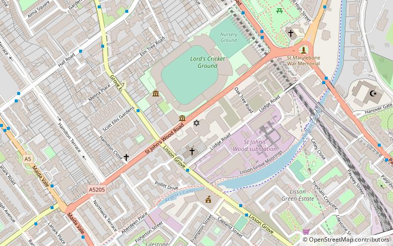
Map

Map

Facts and practical information
The Liberal Jewish Synagogue, or LJS, is a house of prayer in St John's Wood, London, founded in 1911. It is the oldest and largest member of Britain's Liberal Judaism, a constituent member of the World Union for Progressive Judaism. ()
Coordinates: 51°31'41"N, 0°10'21"W
Address
City of Westminster (St John's Wood)London
ContactAdd
Social media
Add
Day trips
The Liberal Jewish Synagogue – popular in the area (distance from the attraction)
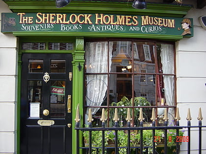
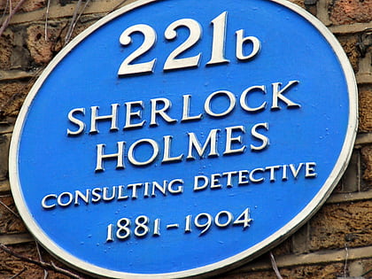
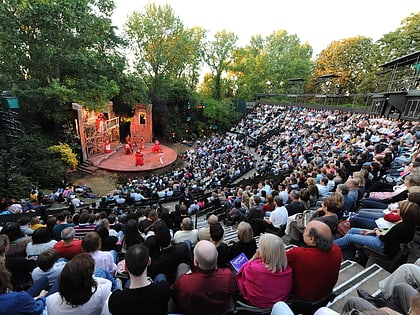
Nearby attractions include: Sherlock Holmes Museum, Lord's, 221B Baker Street, Regent's Park Open Air Theatre.
Frequently Asked Questions (FAQ)
Which popular attractions are close to The Liberal Jewish Synagogue?
Nearby attractions include Lord's, London (3 min walk), St. John's Wood Church Grounds, London (7 min walk), St John's Wood Church, London (7 min walk), London Central Mosque, London (7 min walk).
How to get to The Liberal Jewish Synagogue by public transport?
The nearest stations to The Liberal Jewish Synagogue:
Bus
Train
Metro
Bus
- St John's Wood Road / Lord's Cricket Ground • Lines: 139, 189 (2 min walk)
- Frampton Street • Lines: 139, 189 (5 min walk)
Train
- London Marylebone (13 min walk)
- London Paddington (21 min walk)
Metro
- St. John's Wood • Lines: Jubilee (13 min walk)
- Marylebone • Lines: Bakerloo (15 min walk)

 Tube
Tube


