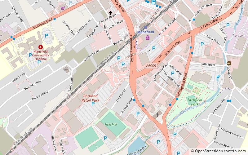
Mansfield Urban Area, Mansfield

Map
Facts and practical information
The Mansfield Urban Area is a built-up area of Nottinghamshire, England. Which comprises the towns of Mansfield, Sutton in Ashfield, and Kirkby in Ashfield. It also includes the settlement of Mansfield Woodhouse and the village of Newstead. As well as the village of New Houghton in Derbyshire. The 2011 census gives the total population of the area as 171,958 making it the 37th most populated urban area in England. The population has increased 9% from the 2001 census population of 158,114. ()
Coordinates: 53°8'24"N, 1°12'0"W
Address
Mansfield
ContactAdd
Social media
Add
Day trips
Mansfield Urban Area – popular in the area (distance from the attraction)
Nearby attractions include: St Mark's Church, Mansfield Museum, Mansfield Palace Theatre, St Peter and St Paul's Church.
Frequently Asked Questions (FAQ)
Which popular attractions are close to Mansfield Urban Area?
Nearby attractions include St Mark's Church, Mansfield (4 min walk), Making It! Discovery Centre, Mansfield (8 min walk), St Peter and St Paul's Church, Mansfield (10 min walk), St John's Church, Mansfield (12 min walk).
How to get to Mansfield Urban Area by public transport?
The nearest stations to Mansfield Urban Area:
Bus
Train
Bus
- Bishop Street • Lines: 218, 219 (3 min walk)
- Mansfield Bus Station • Lines: 1, 11, 12, 12B, 14, 141, 15, 15A, 16, 16A, 204, 205, 210, 217, 218, 219, 23, 23A, 23B, 53, 53A, 6, 7, 9.1, 9.3, Berry Hill Flyer, Black Cat, Pronto (6 min walk)
Train
- Mansfield (4 min walk)


